Us Hwy 27 , BRANFORD, FL 32008
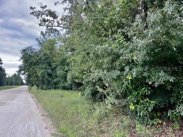
Property Photos
Would you like to sell your home before you purchase this one?
Priced at Only: $99,000
For more Information Call:
Address: Us Hwy 27 , BRANFORD, FL 32008
Property Location and Similar Properties
- MLS#: GC517754 ( Land )
- Street Address: Us Hwy 27
- Viewed: 3
- Price: $99,000
- Price sqft: $0
- Waterfront: No
- Year Built: Not Available
- Bldg sqft: 0
- Days On Market: 393
- Additional Information
- Geolocation: 29.9537 / -82.8677
- County: SUWANNEE
- City: BRANFORD
- Zipcode: 32008
- Provided by: PEPINE REALTY
- Contact: Betsy Pepine
- 352-226-8474

- DMCA Notice
-
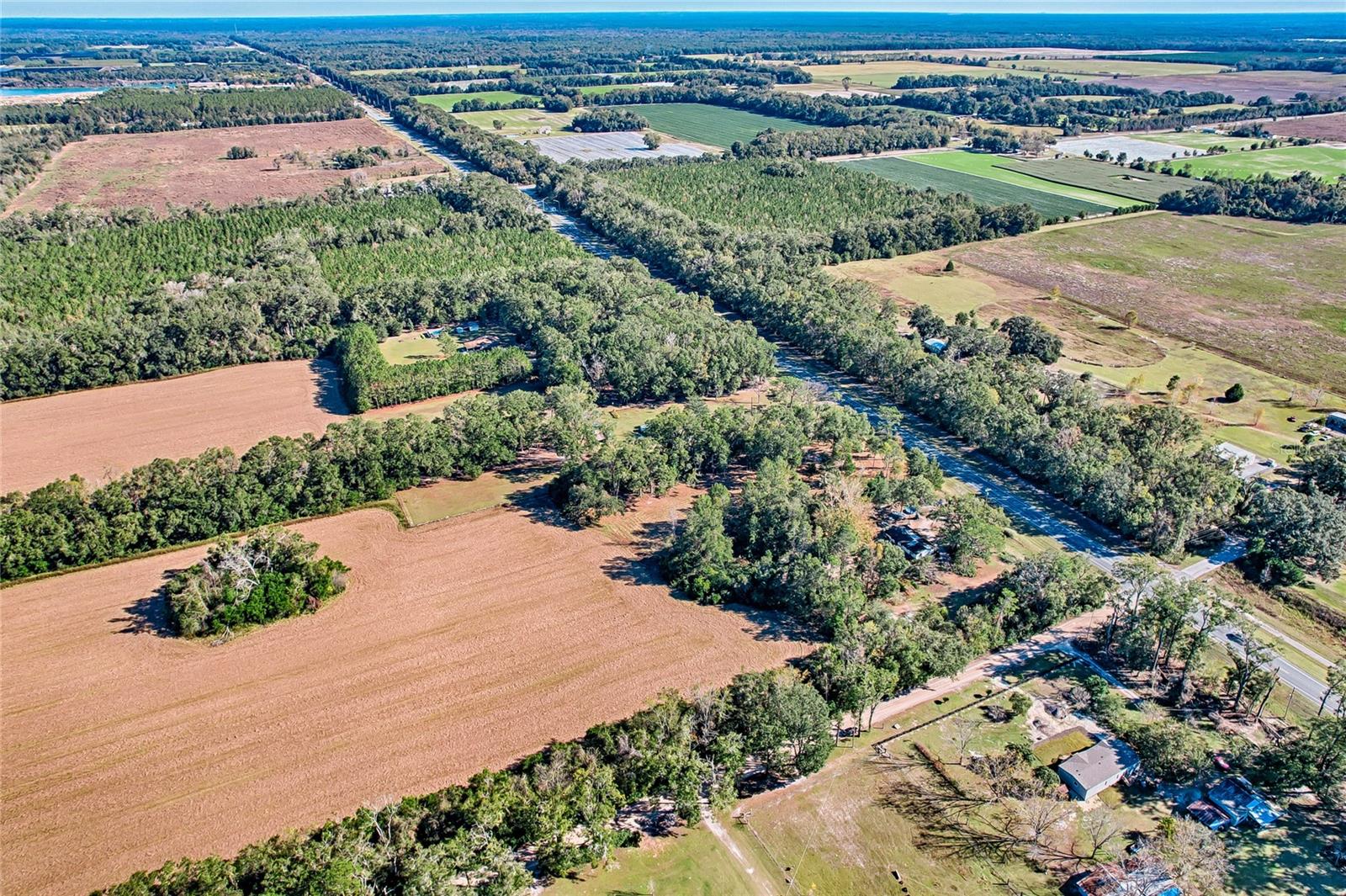
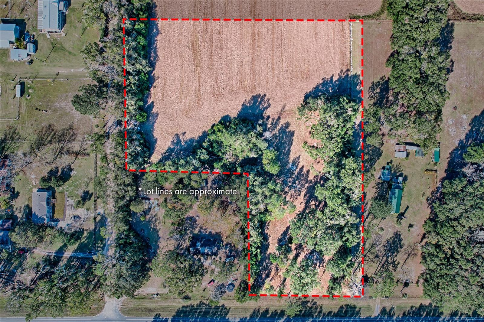
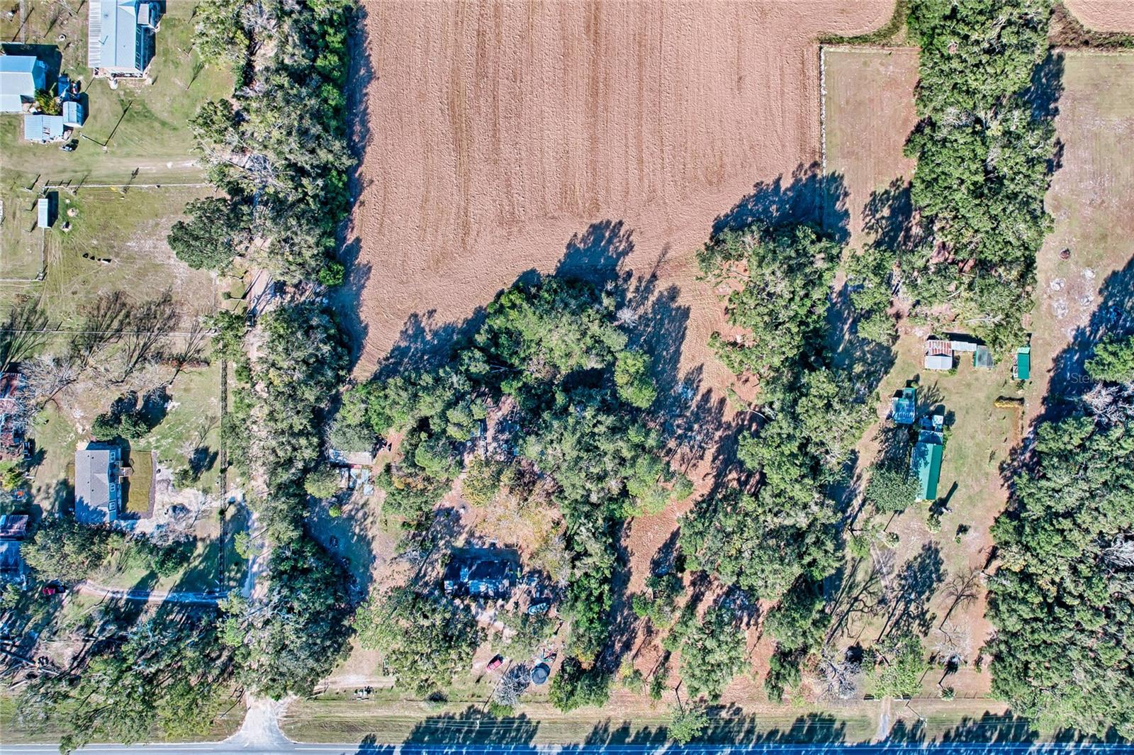
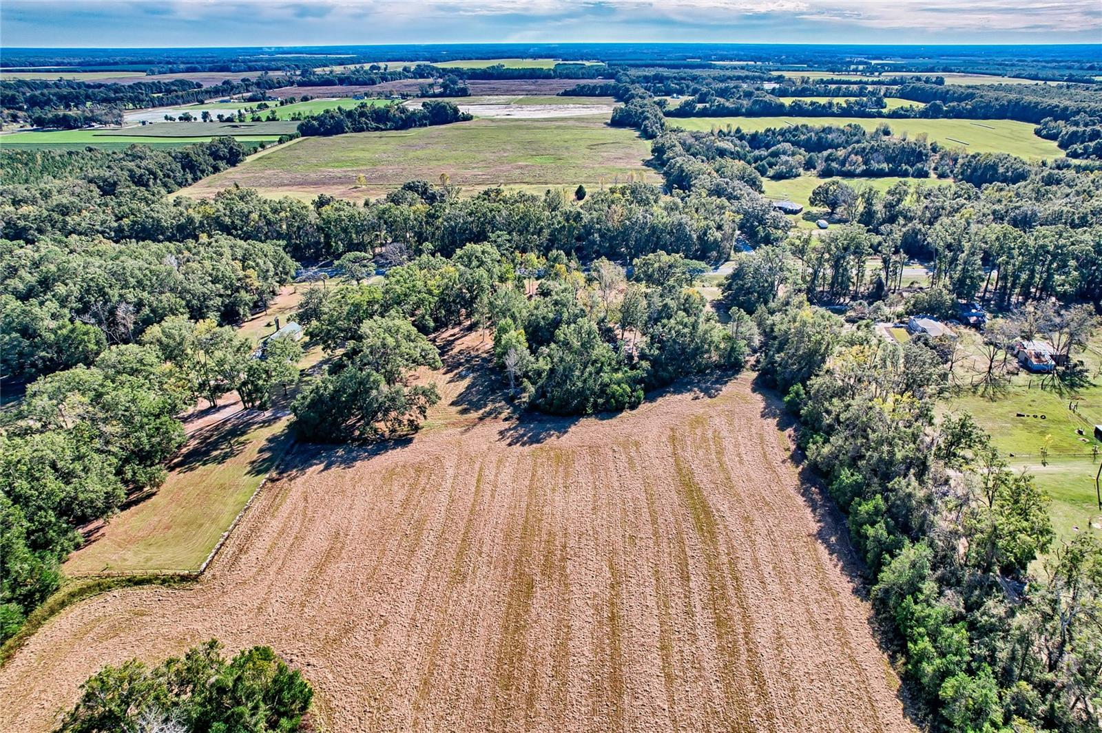
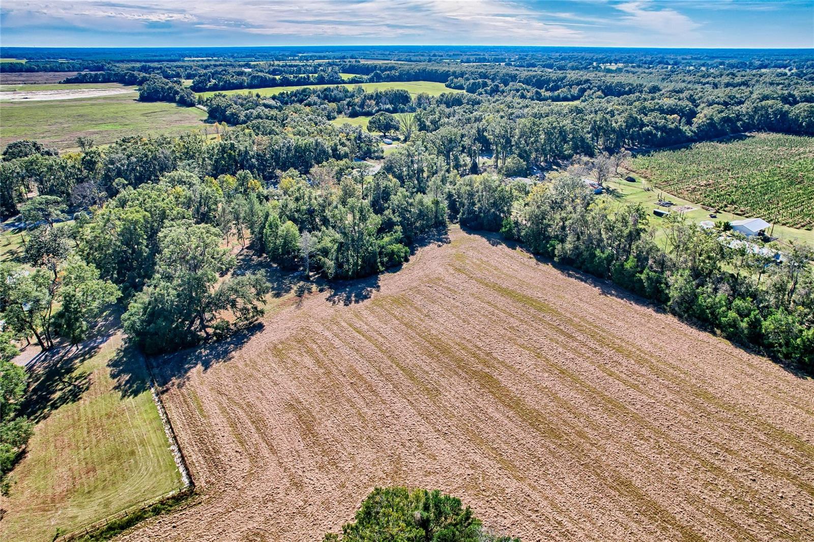
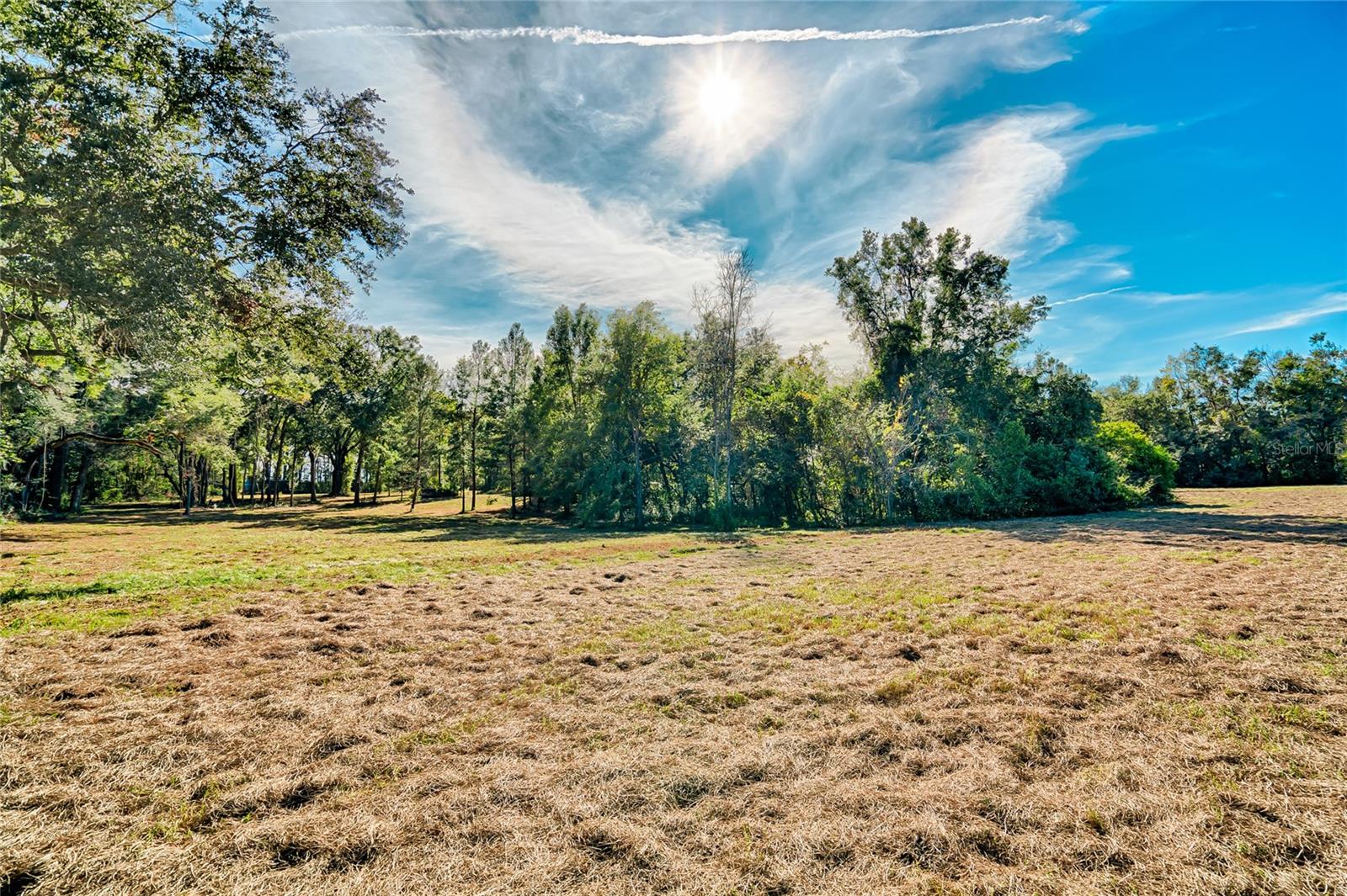
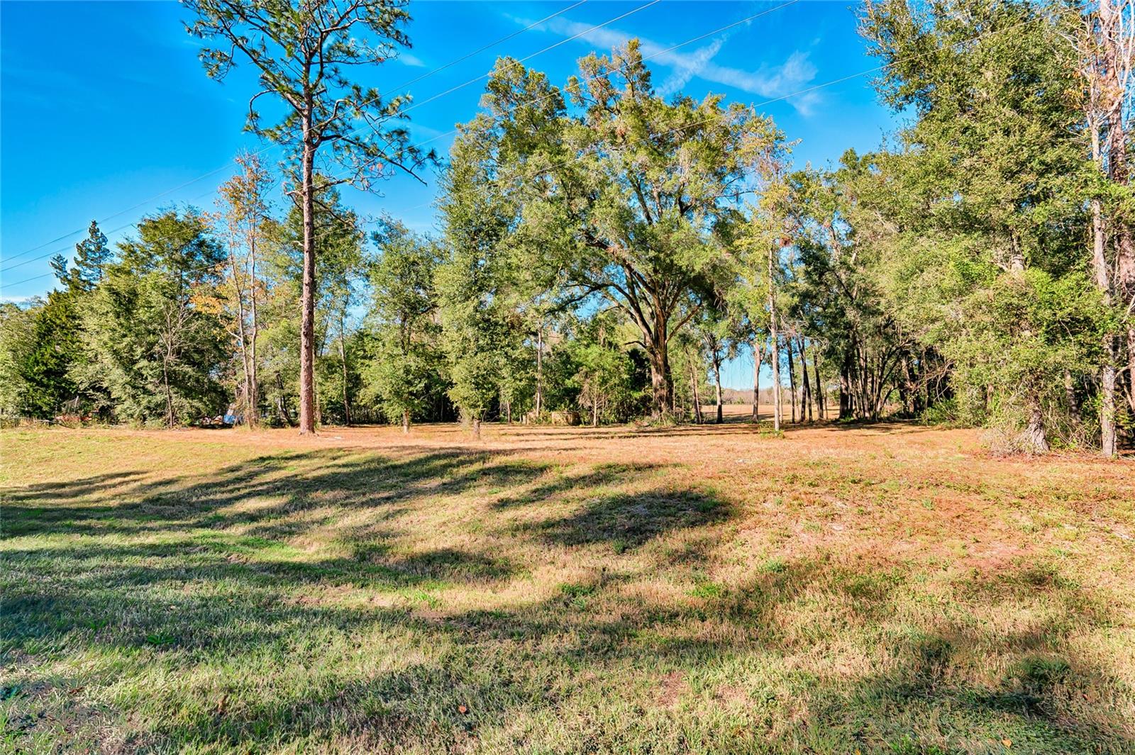
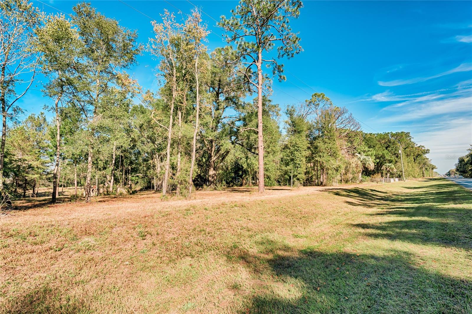
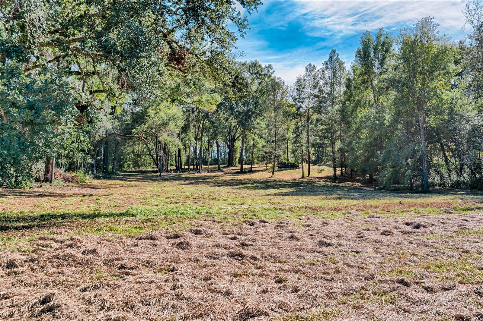
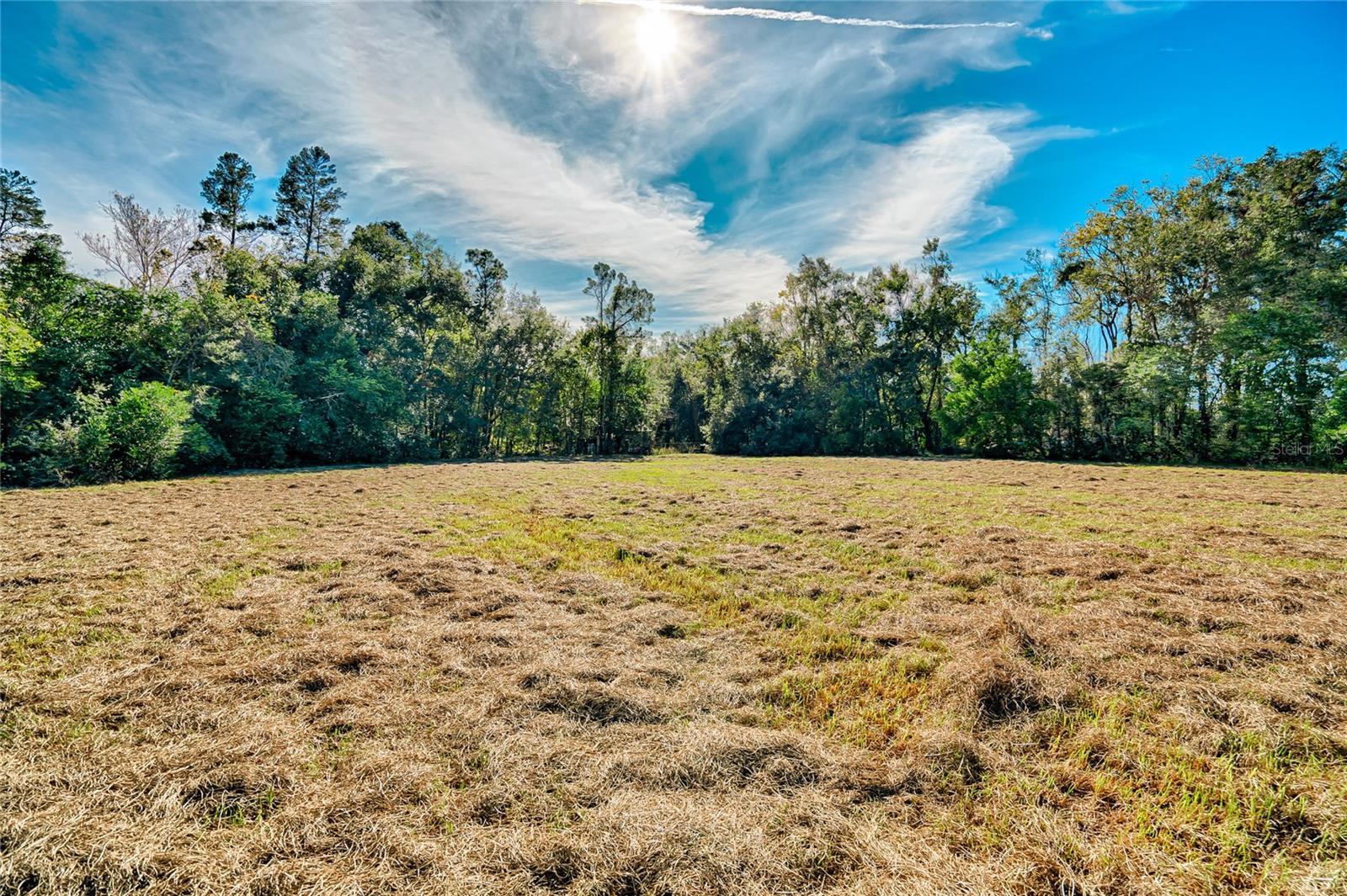
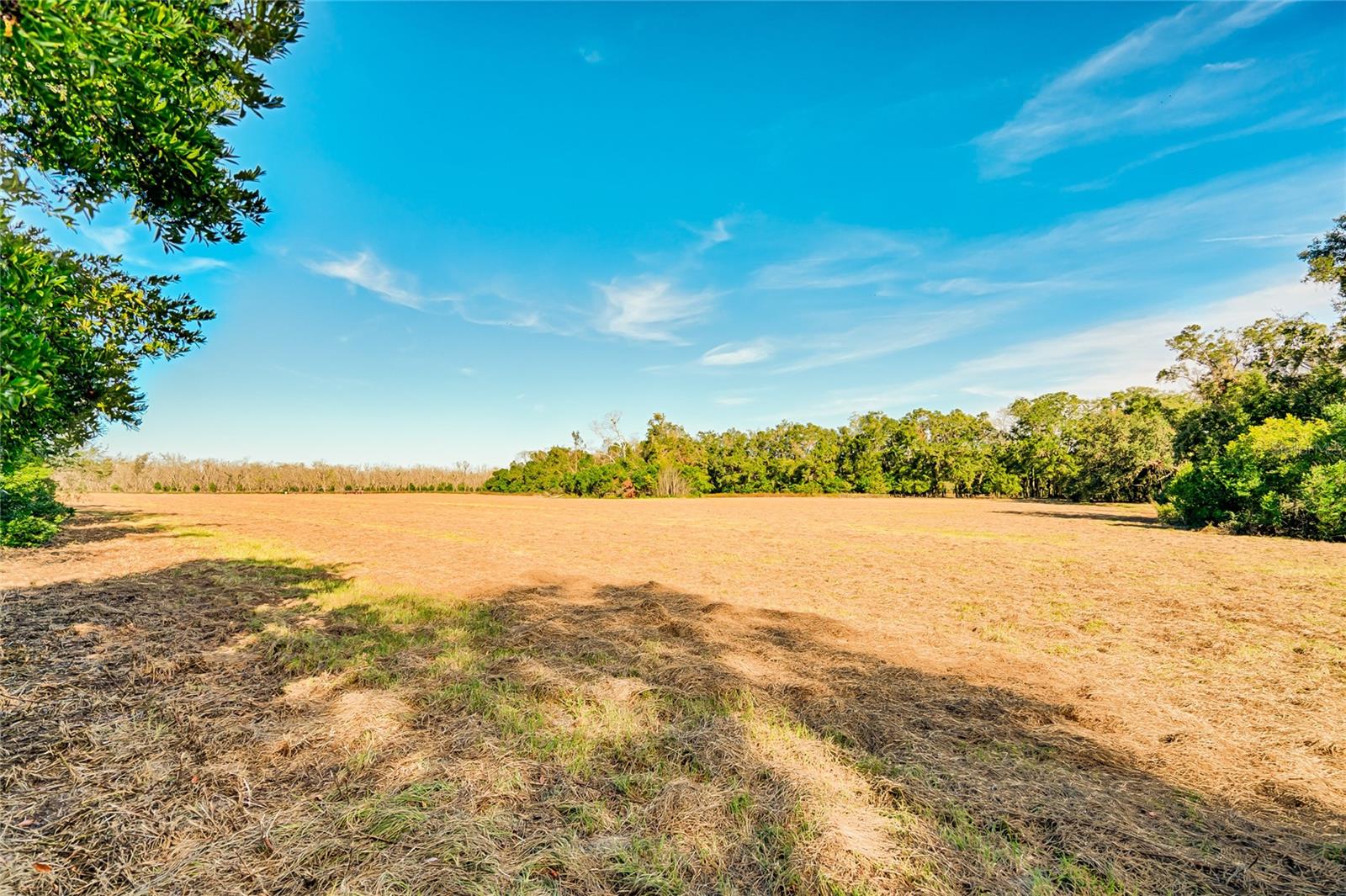
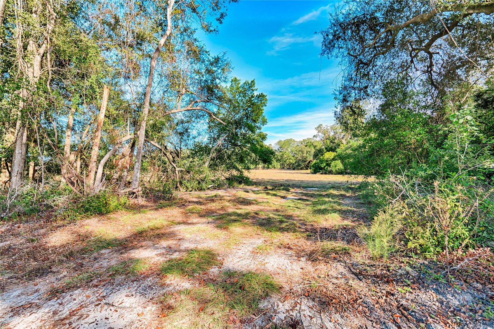
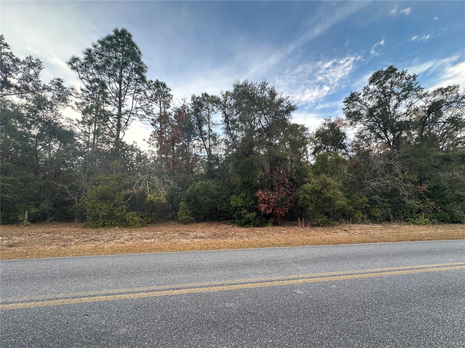
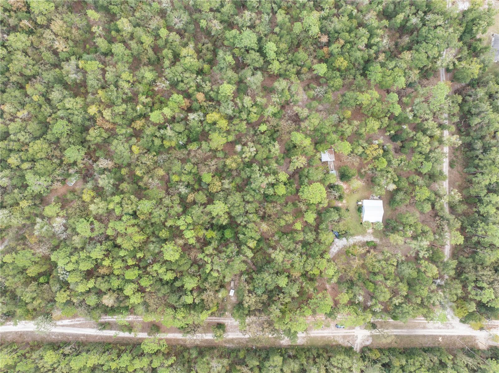
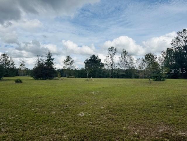
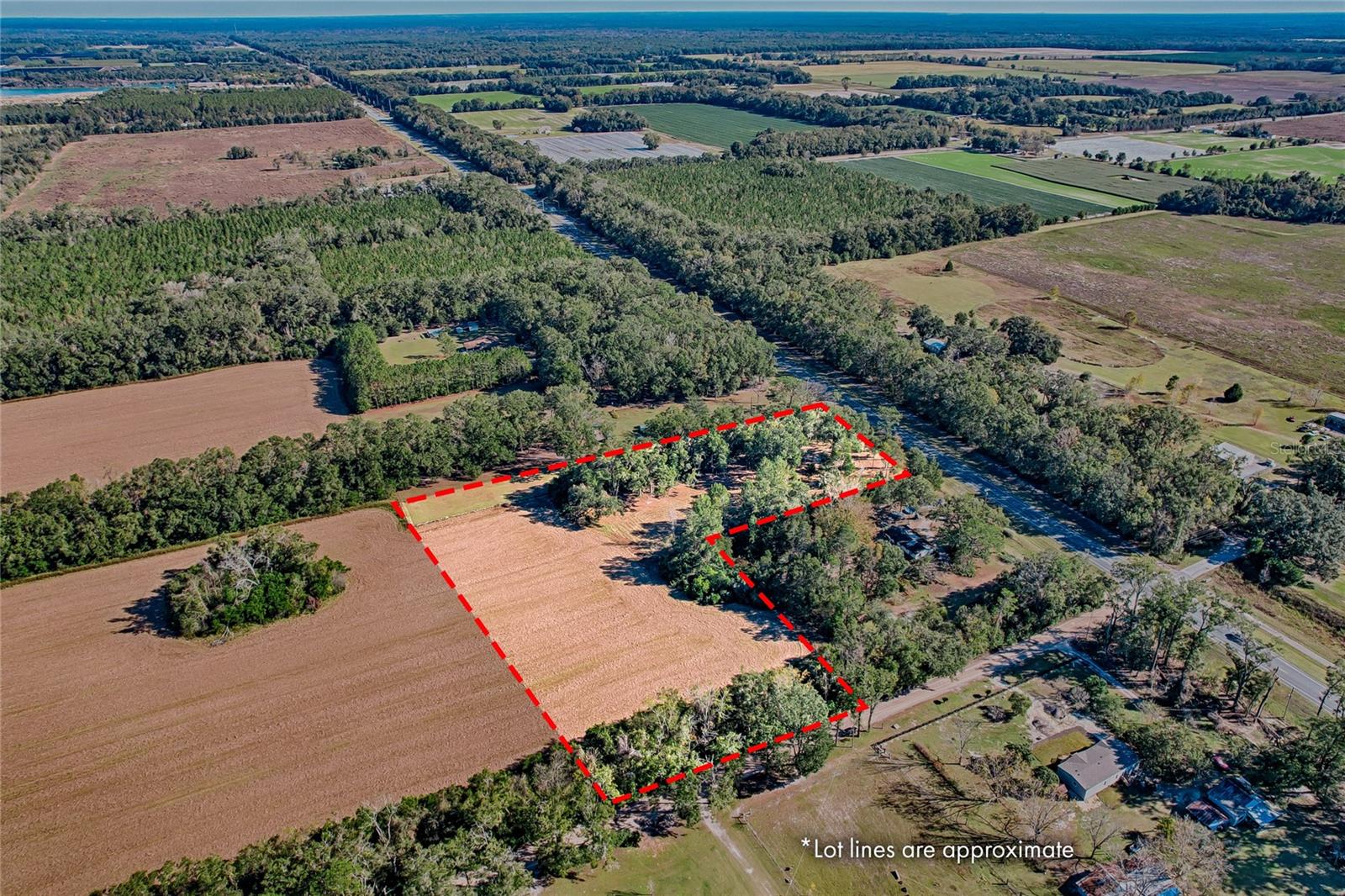
DescriptionBuild your dream home or recreational retreat on this 5.78 acre parcel of cleared land, located in Branford, Suwannee County, Property is zoned A 1, allowing for versatile land use with a density of 1 dwelling unit per 5 acres. Well on the Property. Owner has survey. Situated between the Suwannee River and Ichetucknee Springs State Park. Gulf access via Suwannee River. Enjoy fishing, boating, and swimming, with easy access to boat ramps. Explore nearby attractions such as Troy Springs State Park, enjoy kayaking along the Suwannee River, and hike the scenic Branford Trail. Branford Farm Stand and Historic Downtown with shops and restaurants. Convenience and Low Taxes. Whether you add a home or make it a weekend getaway.
Payment Calculator
- Principal & Interest -
- Property Tax $
- Home Insurance $
- HOA Fees $
- Monthly -
Features
Building and Construction
- Covered Spaces: 0.00
- Fencing: Wire
- Living Area: 0.00
Land Information
- Lot Features: Cleared, Level
Garage and Parking
- Garage Spaces: 0.00
Eco-Communities
- Water Source: Well
Utilities
- Carport Spaces: 0.00
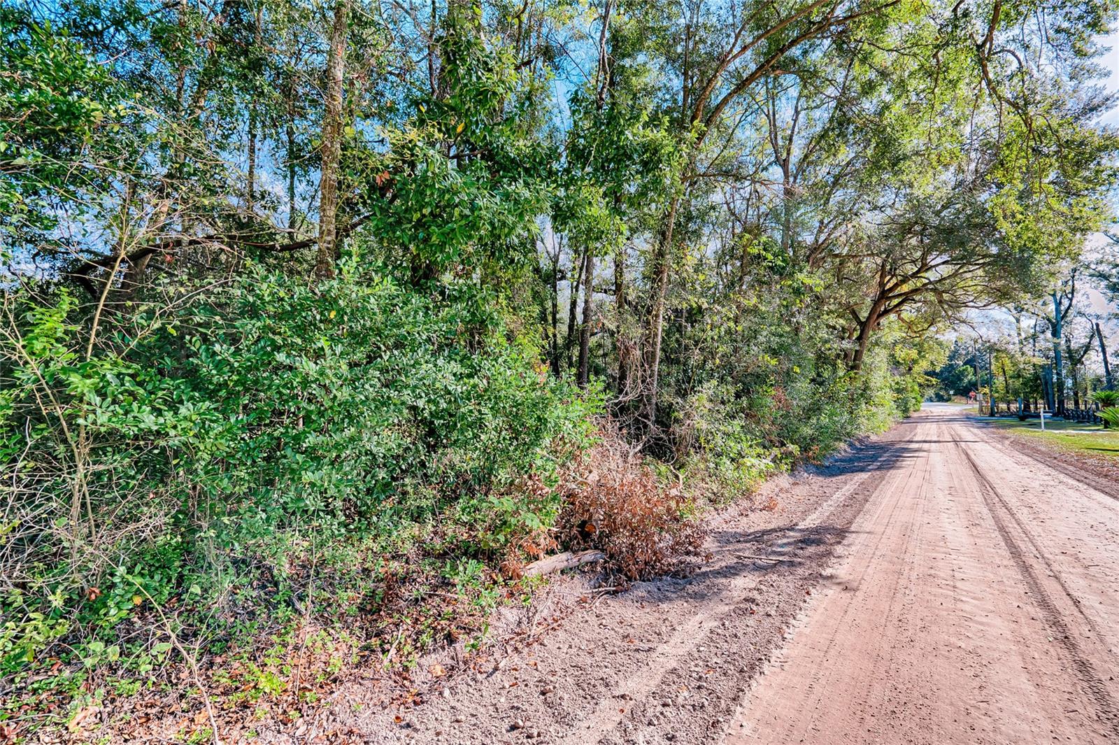
- Road Frontage Type: County Road
- Sewer: None
- Utilities: BB/HS Internet Available, Electrical Nearby
Finance and Tax Information
- Home Owners Association Fee: 0.00
- Net Operating Income: 0.00
- Tax Year: 2022
Other Features
- Country: US
- Current Use: Pasture
- Legal Description: LEG 5.78 ACRES 01 DEG 28'35 W 635.37 FT RUN S 88 DEG 32'47 W 540.81 FT TO THE POB ORB 2351 P 291-92 WD YR 2022 FOR POINT OF REFERENCE COMM AT THE NE COR OF W1/2 OF E1/2 RUN S 88 DEG 32'47 W 1324.81 FT TO THE NW COR OF SAID W1/2 OF E1/2 RUN S 01 DEG 22 '28 E 759.83 FT TO THE POB CONT S 01 DEG 22'28 E 327.33 FT RUN N 89 DEG 23'49 E 300.00 FT RUN S 01 DEG 22'28 E 300.0 FT TO THE N R/W LINE OF STATE ROAD 20 RUN N 89 DEG 23'49 E ALONG SAID R/W LINE 241.99 FT RUN N
- Area Major: 32008 - Branford
- Parcel Number: 24-06S-14E-04394-000000
- View: Trees/Woods
- Zoning Code: A1
Similar Properties


