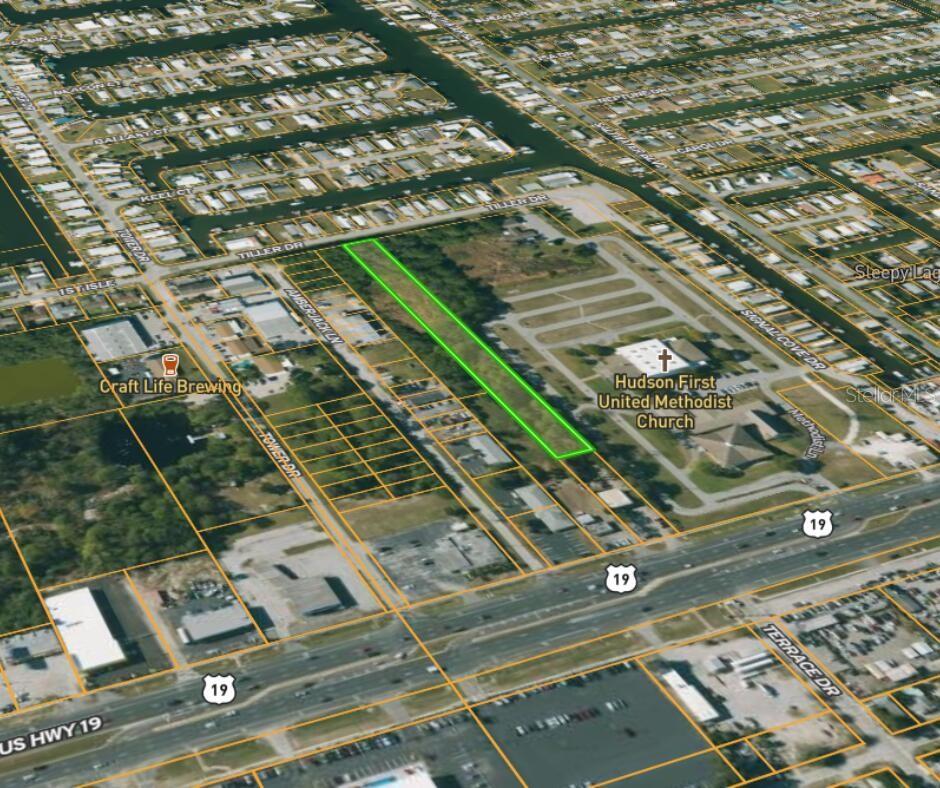
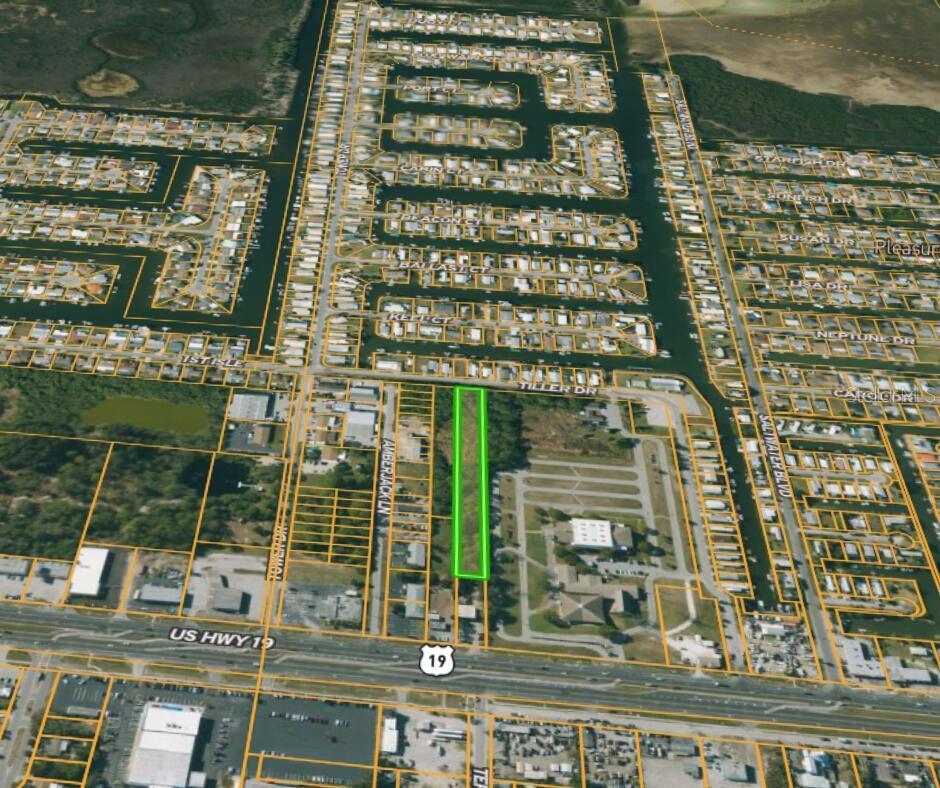
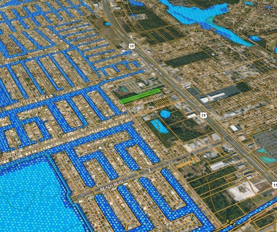
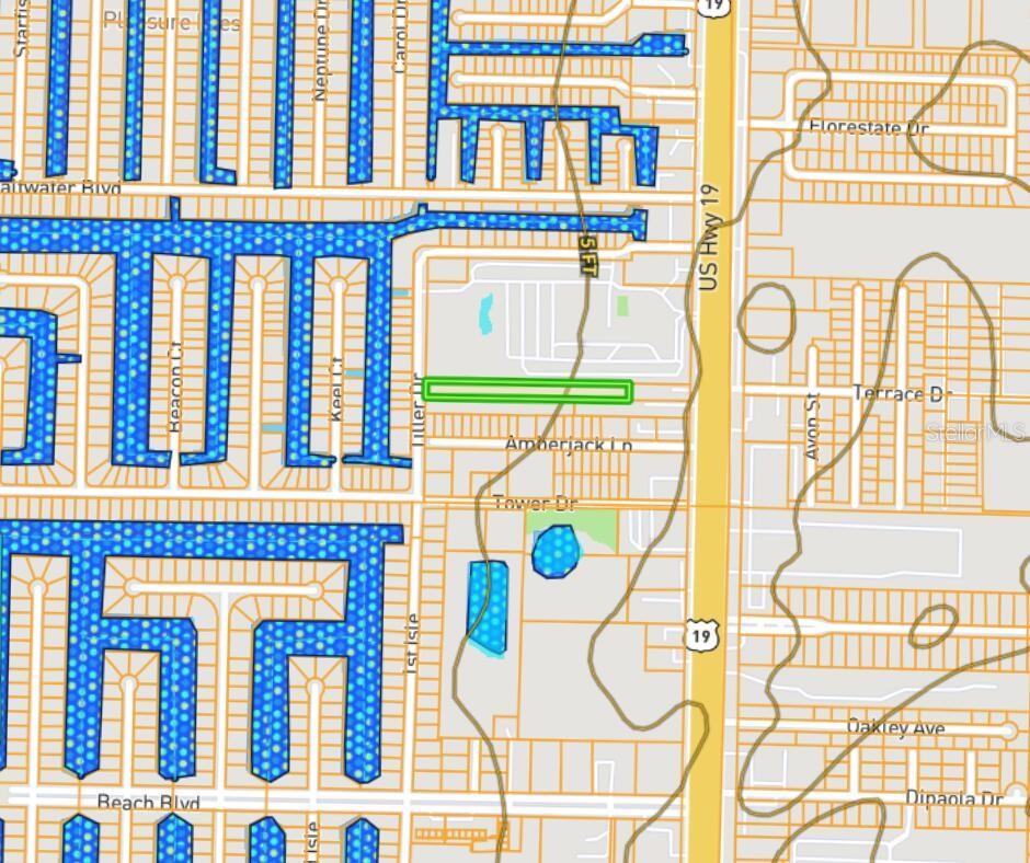
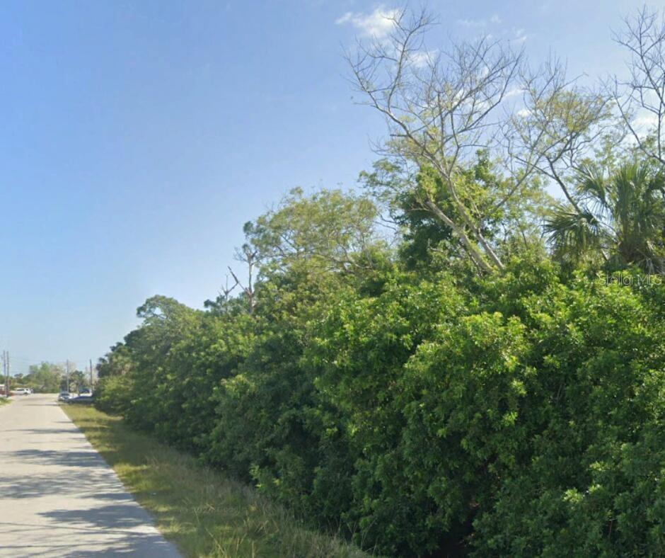
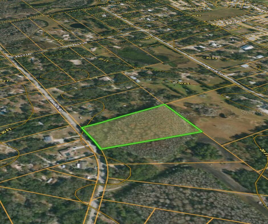
13041 Tiller Drive, HUDSON, FL 34667
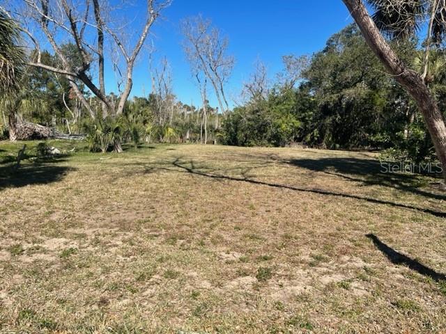
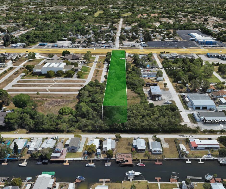
Property Photos
Would you like to sell your home before you purchase this one?
Priced at Only: $59,900
For more Information Call:
Address: 13041 Tiller Drive, HUDSON, FL 34667
Property Location and Similar Properties
- MLS#: O6264507 ( Land )
- Street Address: 13041 Tiller Drive
- Viewed: 5
- Price: $59,900
- Price sqft: $0
- Waterfront: No
- Year Built: Not Available
- Bldg sqft: 0
- Days On Market: 11
- Additional Information
- Geolocation: 28.3473 / -82.7017
- County: PASCO
- City: HUDSON
- Zipcode: 34667
- Subdivision: Gulf Breeze Estates
- Provided by: BEYCOME OF FLORIDA LLC
- Contact: Steven Koleno
- 804-656-5007

- DMCA Notice
-
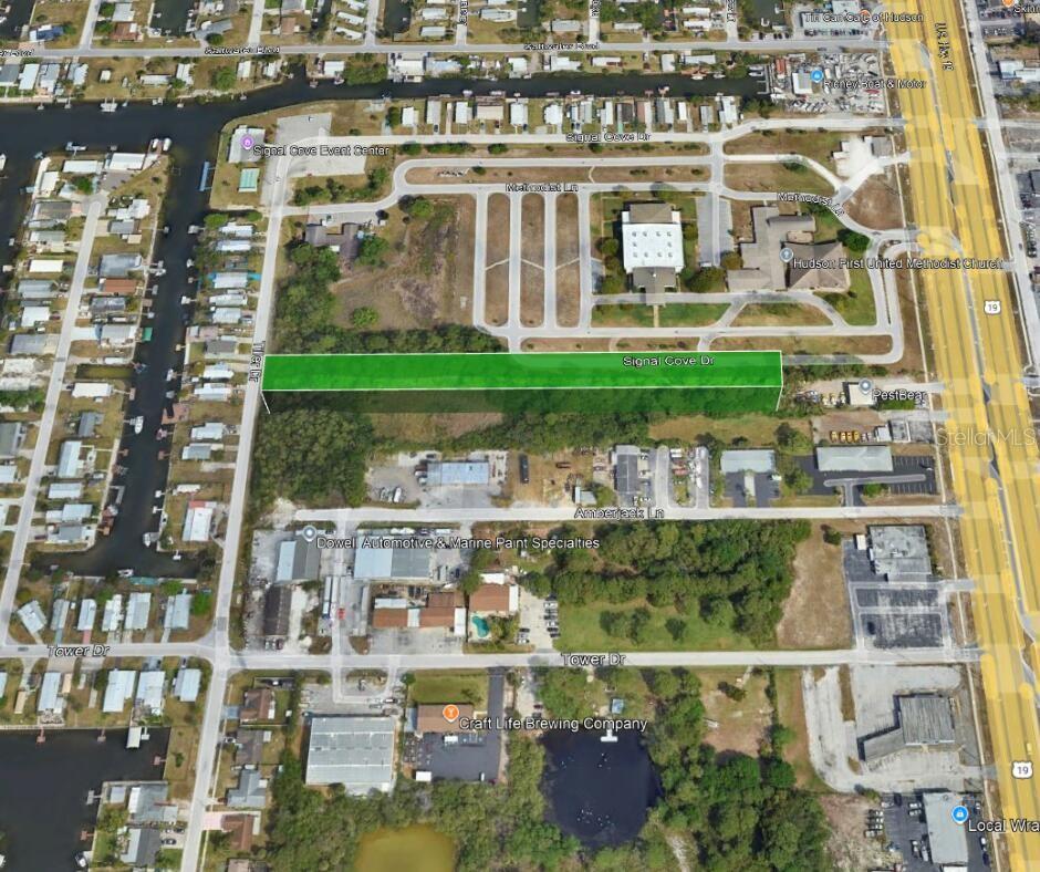
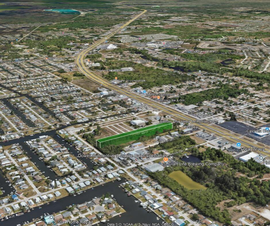
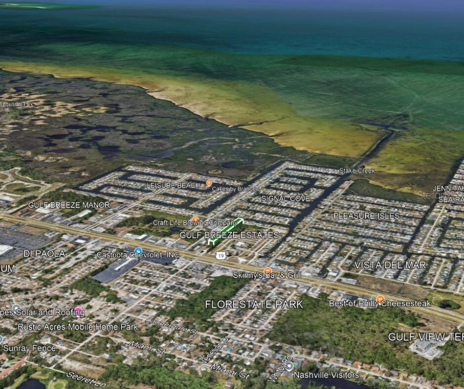
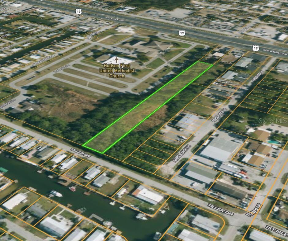
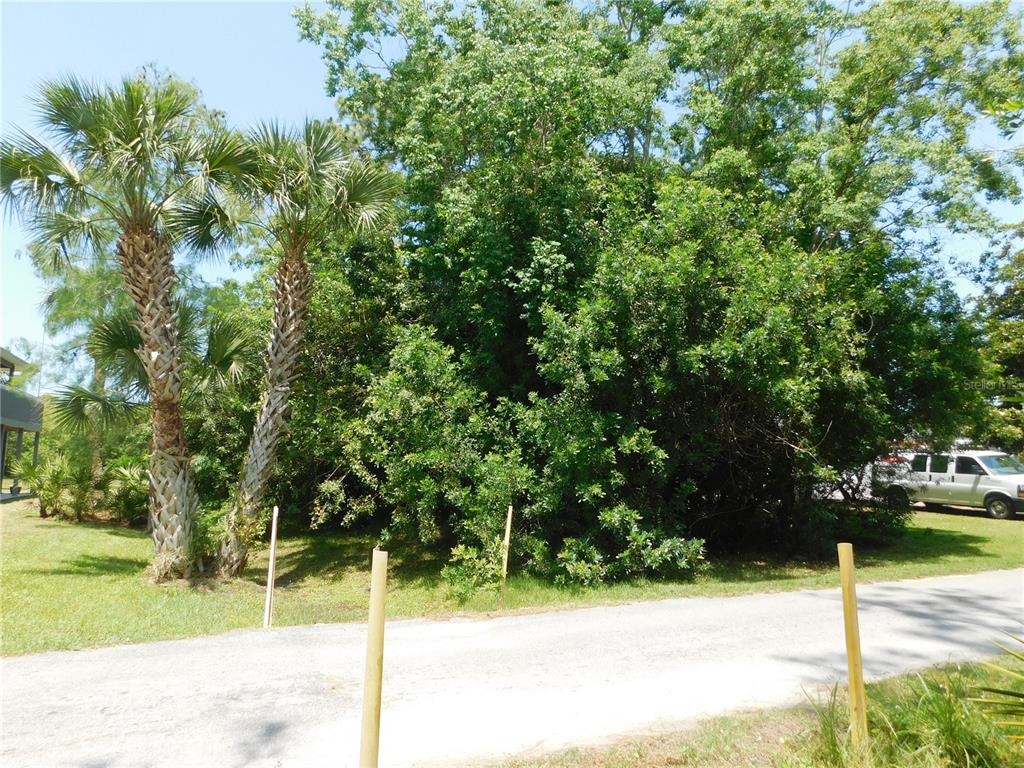
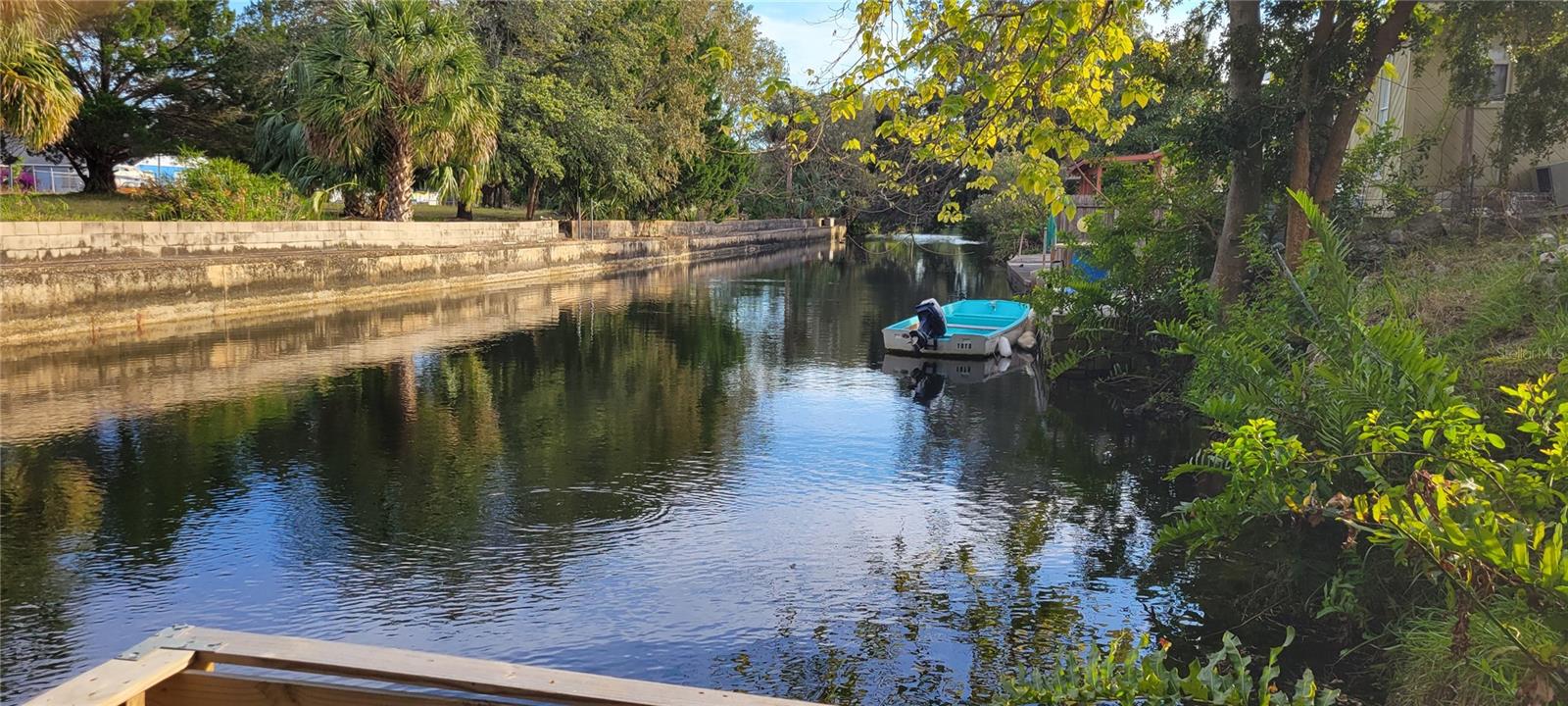
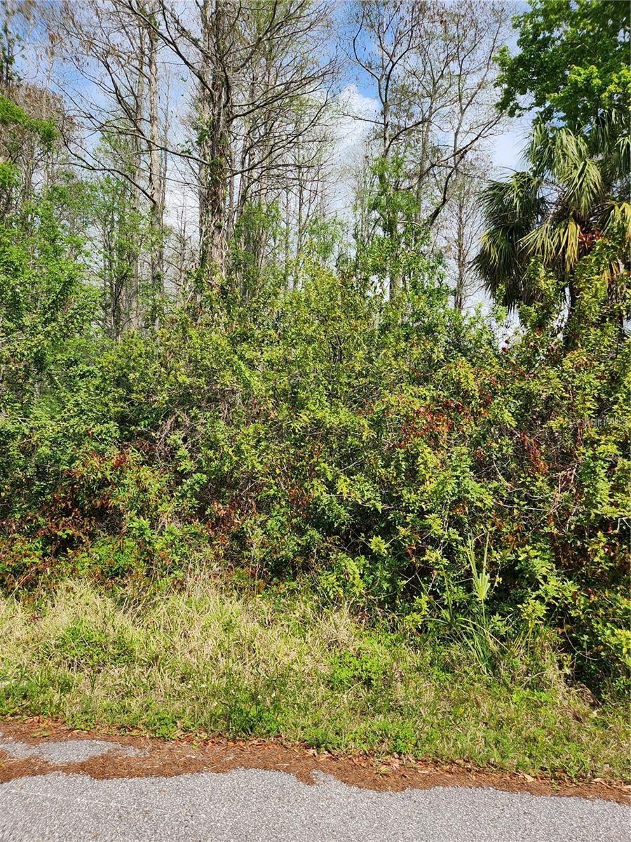
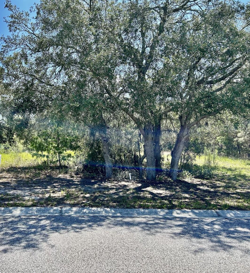
DescriptionDiscover the potential of this vacant lot located on Tiller Dr. in Hudson, FL. This property offers a blank canvas for you to build your dream home or investment project. Situated in a peaceful neighborhood, the lot provides easy access to local amenities and the beautiful Gulf coast. With its desirable location, this property presents a unique opportunity to create a tailored space while enjoying the surrounding community. Don't miss out on this chance to own a piece of Florida paradise.
Payment Calculator
- Principal & Interest -
- Property Tax $
- Home Insurance $
- HOA Fees $
- Monthly -
Features
Building and Construction
- Covered Spaces: 0.00
- Living Area: 0.00
Garage and Parking
- Garage Spaces: 0.00
- Open Parking Spaces: 0.00
Eco-Communities
- Water Source: Well Required
Utilities
- Carport Spaces: 0.00
- Sewer: Septic Needed
- Utilities: Other
Finance and Tax Information
- Home Owners Association Fee: 0.00
- Insurance Expense: 0.00
- Net Operating Income: 0.00
- Other Expense: 0.00
- Tax Year: 2023
Other Features
- Country: US
- Current Use: Residential
- Legal Description: GULF BREEZE ESTATES PB 4 PG 64 TRACT 7 EXC EAST 32 FT THEREOF AND EXC THAT POR OF LOT 7 GULF BREEZE ESTATES PB 4 PG 64 DESC AS COM AT SW COR OF SE1/4 OF SE1/4 OF SEC 33 TH N00DG 15' 29"E 452.08 FT TO SW COR OF SAID LOT 7 TH S89DG 56' 46"E ALG S BDY O F SAID LOT 7 880.19 FT FOR POB TH N01DG 04' 00"E 71.19 FT TO N LN OF SAID LOT 7 TH S89DG 56' 46"E ALG SAID N LN 266.84 FT TO WLY R/W LN OF US HWY 19 TH S01DG 04' 00"W 71.19 FT TO S LN OF SAID LOT 7 TH N89DG 56' 46"W 266.84 FT TO POB OR 1565 PG 287 O R 9670 PG 2480
- Area Major: 34667 - Hudson/Bayonet Point/Port Richey
- Parcel Number: 16-24-33-0170-00000-0070
- Zoning Code: RMH
Similar Properties
Nearby Subdivisions
Aripeka
Autumn Oaks
Autumn Oaks South
Bayonet Point Annex
Bolton Heights West
Briarwoods
Cape Cay
Conner Sub
Conners Sub 2
Coral Cove
Dipaola Sub
Driftwood Isles
Emerald Beach
Florestate Park
Forestdale
Garden Terrace
Garden Terrace Acres
Griffin Park
Gulf Breeze Estates
Gulf Coast Acres
Gulf Coast Acres Add
Gulf Coast Hwy Est 1st Add
Gulf Side Acres
Gulf Side Villas
Gulf View Terrace
Holiday Estates
Hudson Beach Estates
Iuka
Jennita Point
Killarney Shores
Long Lake Estates
Not In Hernando
Orange Hill Estates
Pleasure Isles 1st Add
Port Richey Co Sub
Port Richey Land Co Sub
Preserve At Sea Pines
Sea Pines
Sea Pines Sub
Sea Pines Subdivision
Sea Ranch On Gulf
Sunset Estates
Sunset Estates Rep
U S 19 No 11 Addition
Us Hwy 19 09 Add 09
Vista Del Mar
Waterway Shores
Windsor Mill


