Weldon Street, STARKE, FL 32091
Property Photos
Would you like to sell your home before you purchase this one?
Priced at Only: $245,000
For more Information Call:
Address: Weldon Street, STARKE, FL 32091
Property Location and Similar Properties
- MLS#: GC523996 ( Land )
- Street Address: Weldon Street
- Viewed: 2
- Price: $245,000
- Price sqft: $0
- Waterfront: Yes
- Wateraccess: Yes
- Waterfront Type: Pond
- Year Built: Not Available
- Bldg sqft: 0
- Days On Market: 153
- Additional Information
- Geolocation: 29.9543 / -82.1173
- County: BRADFORD
- City: STARKE
- Zipcode: 32091
- Elementary School: Starke
- Middle School: Bradford
- High School: Bradford
- Provided by: COLDWELL BANKER SMITH AND SMITH REALTY
- Contact: Lisa Hull
- 904-964-9222

- DMCA Notice
-
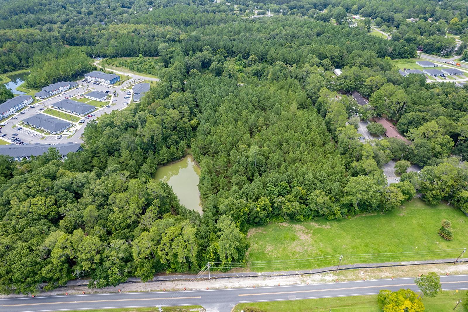
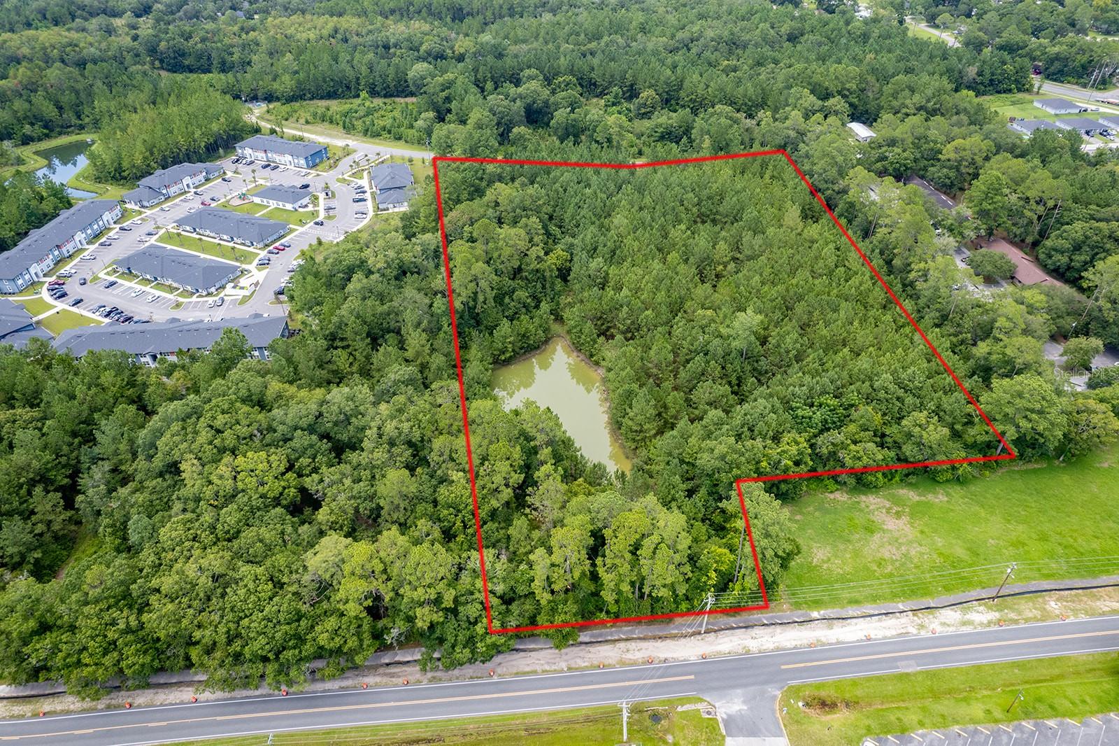
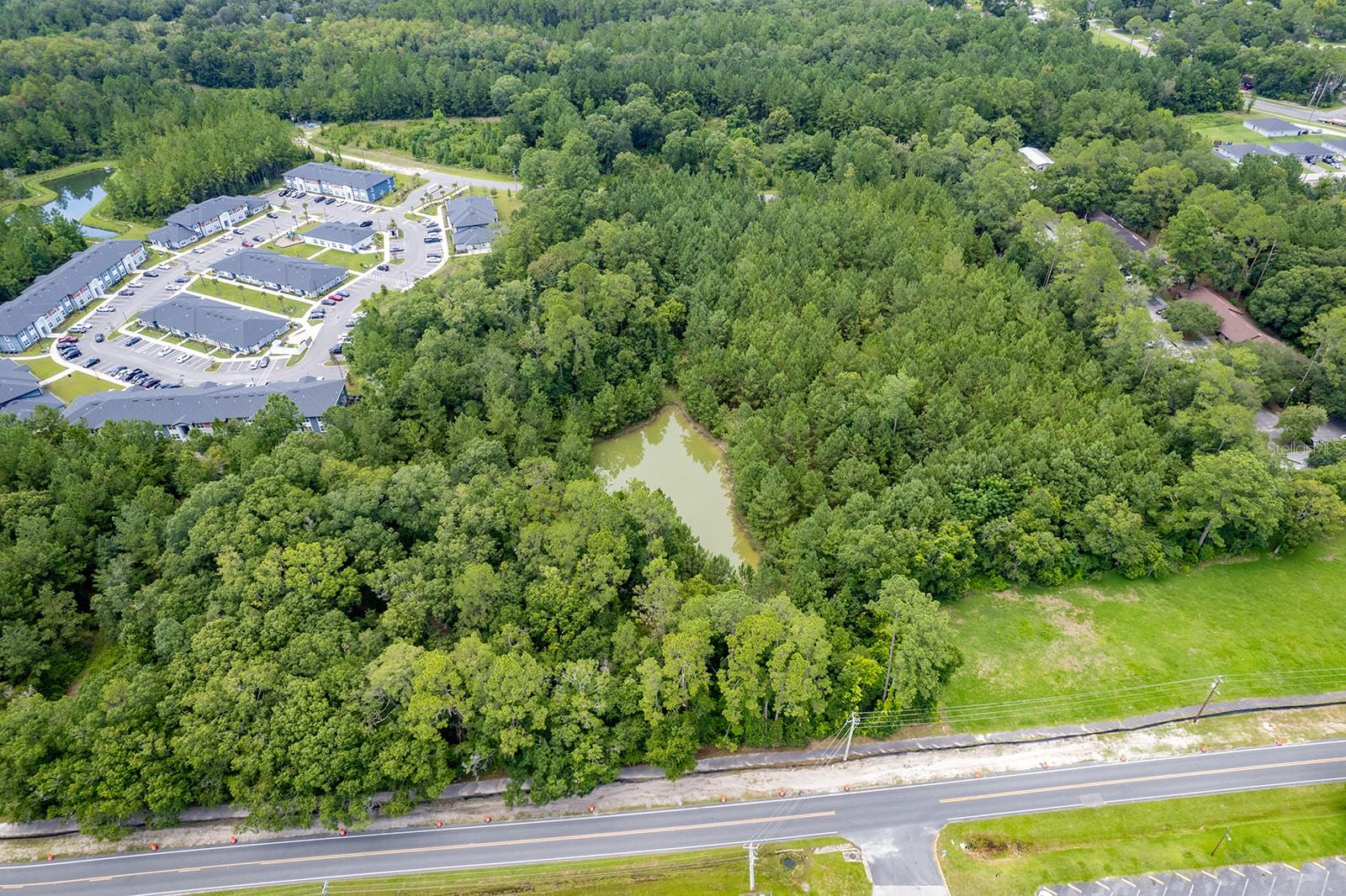
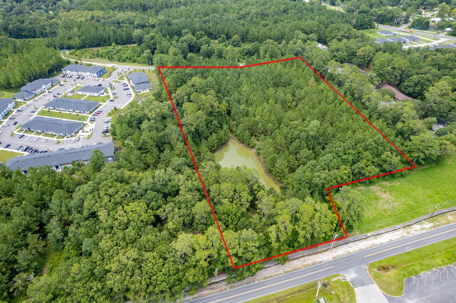
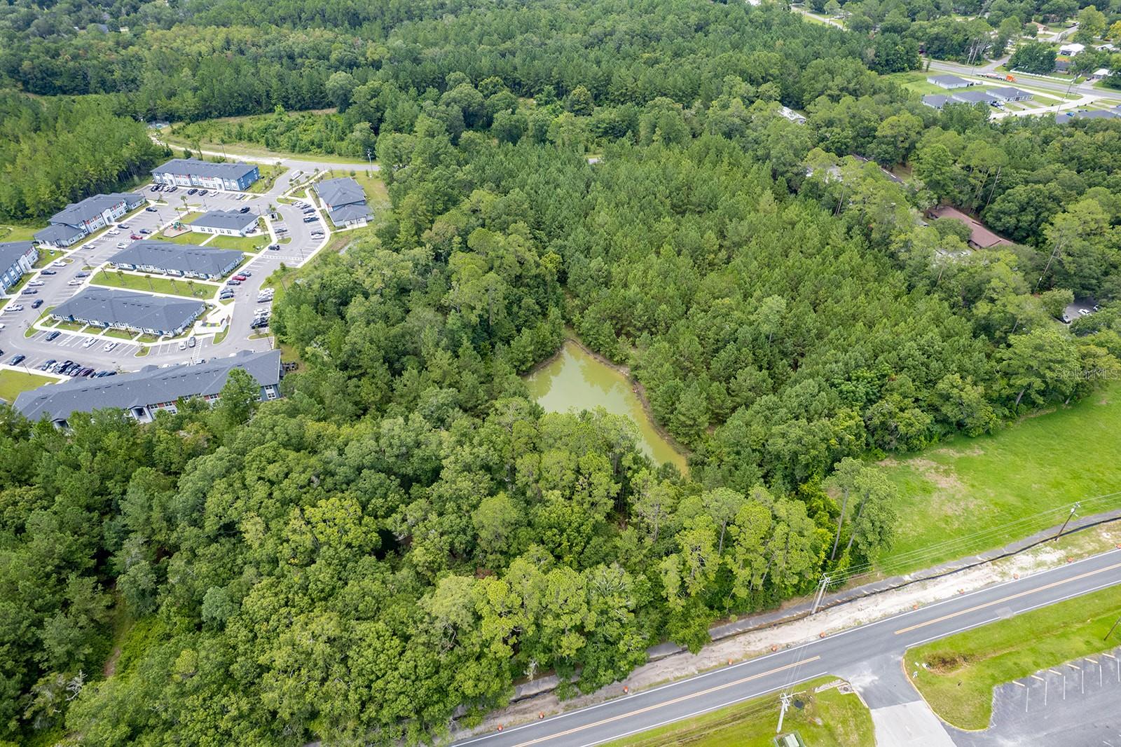
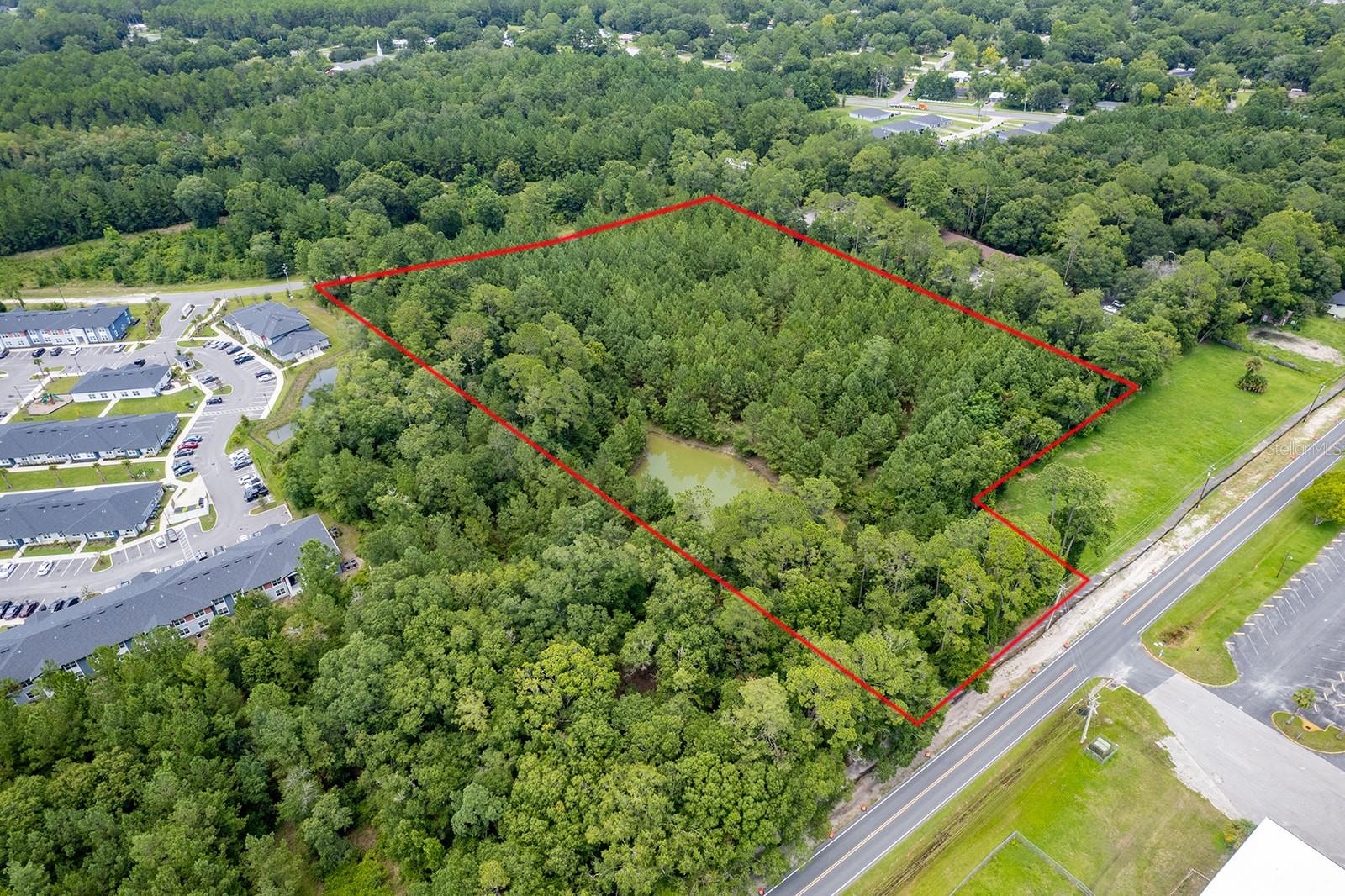
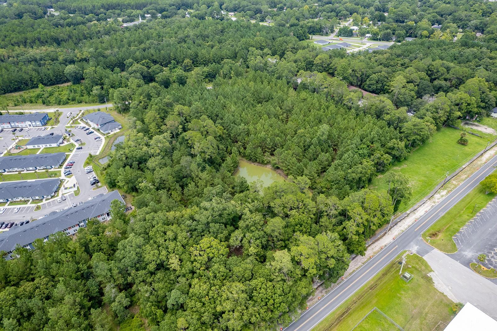
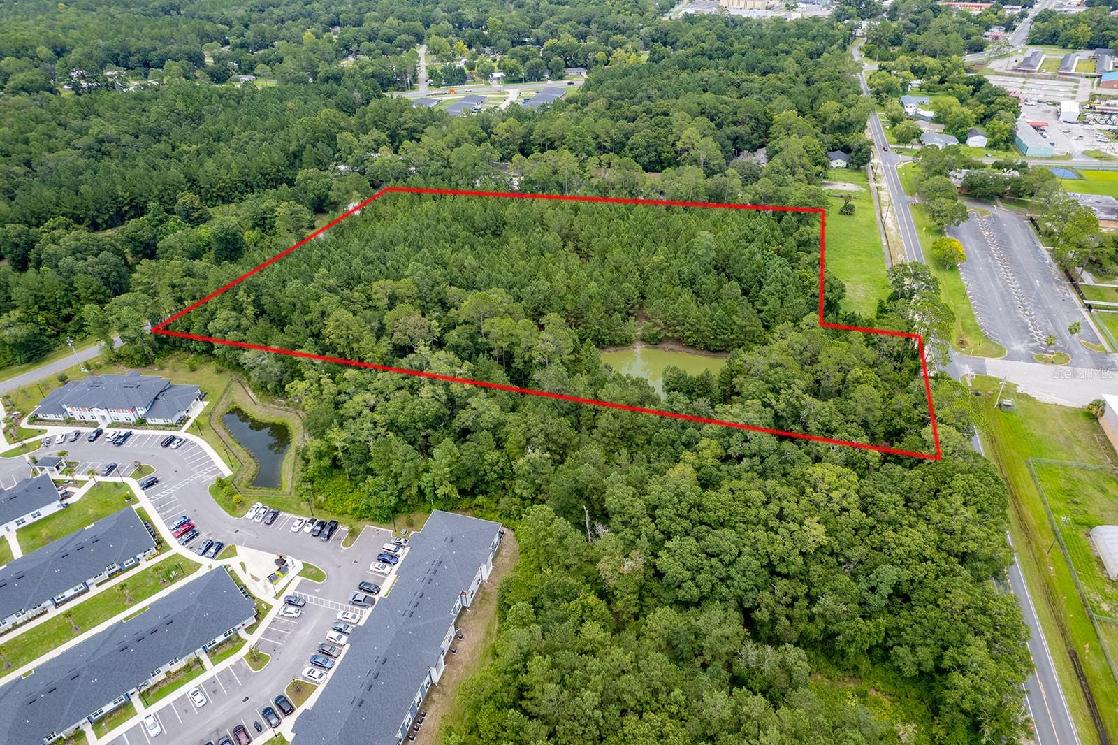
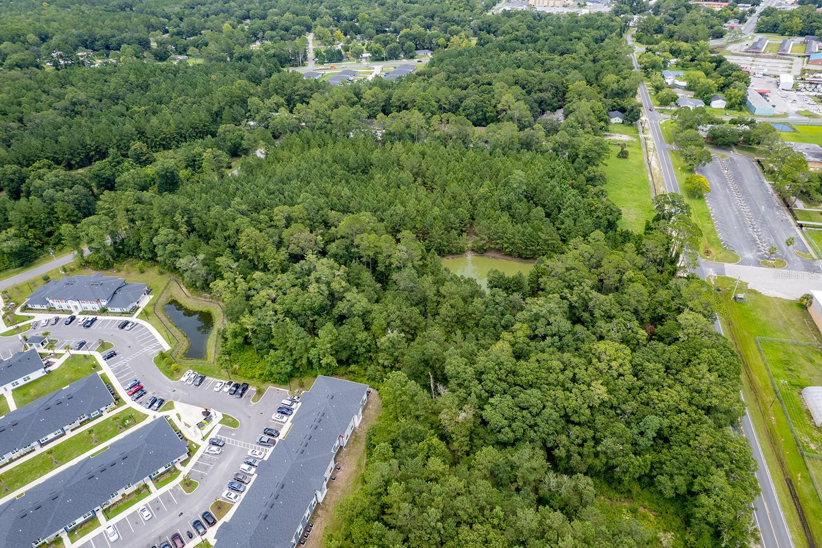
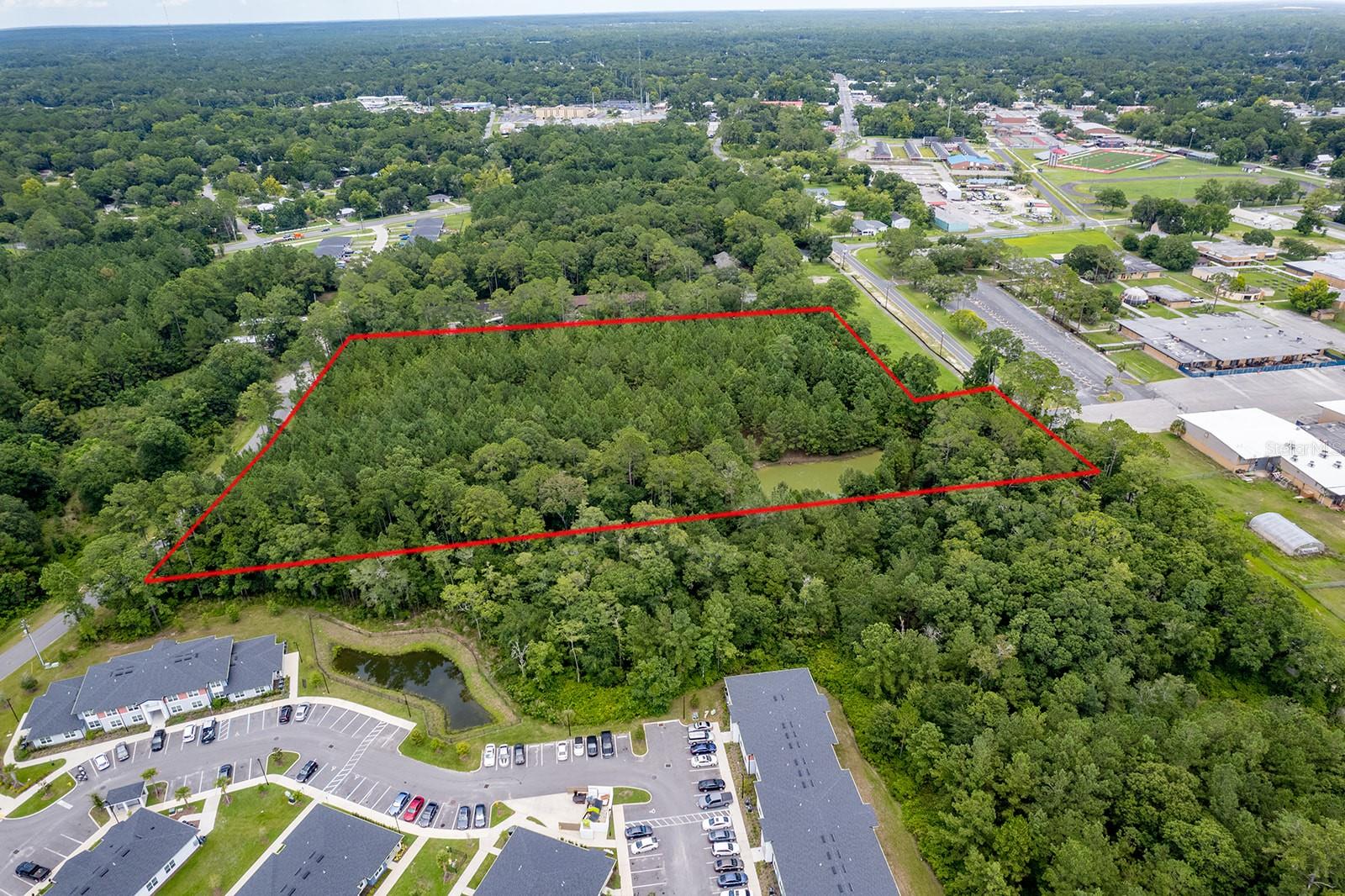
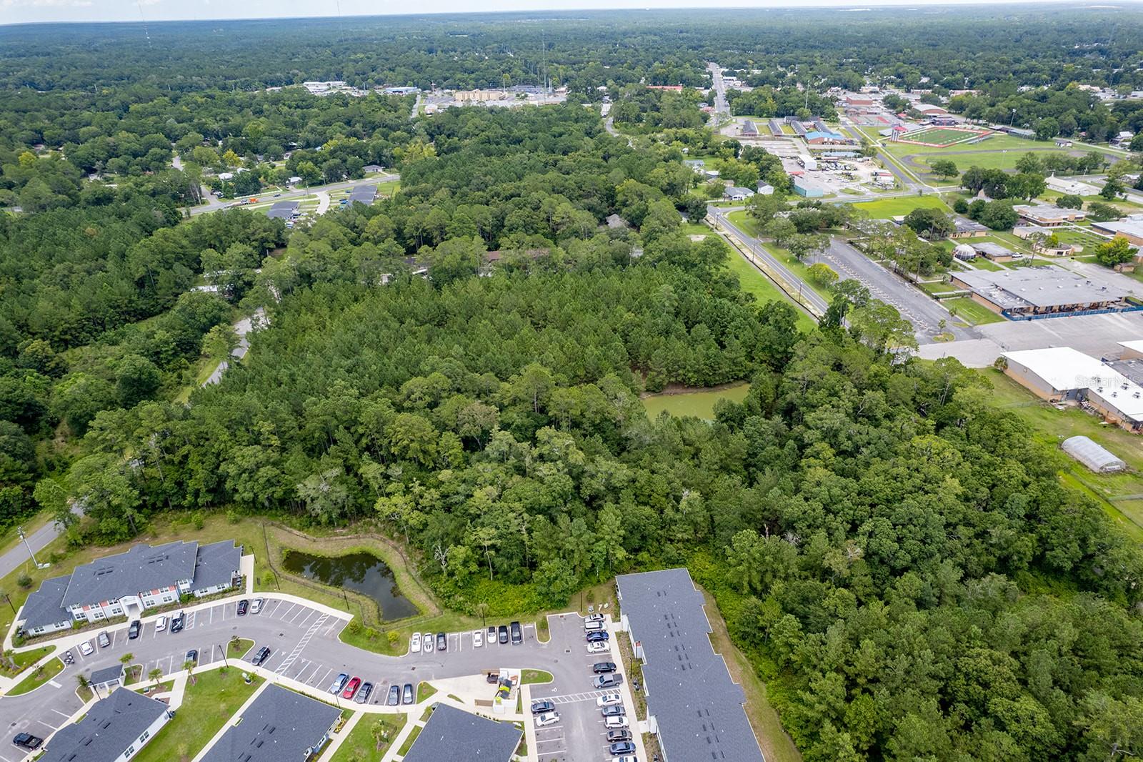
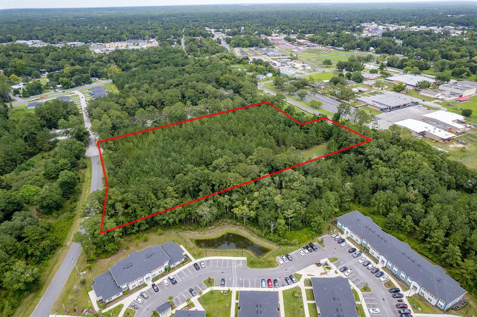
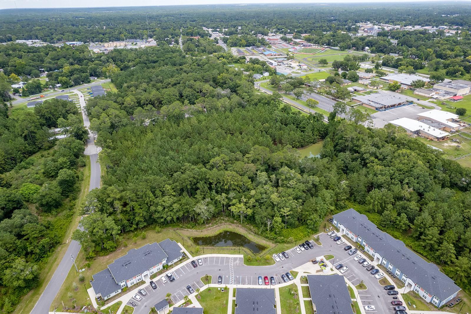
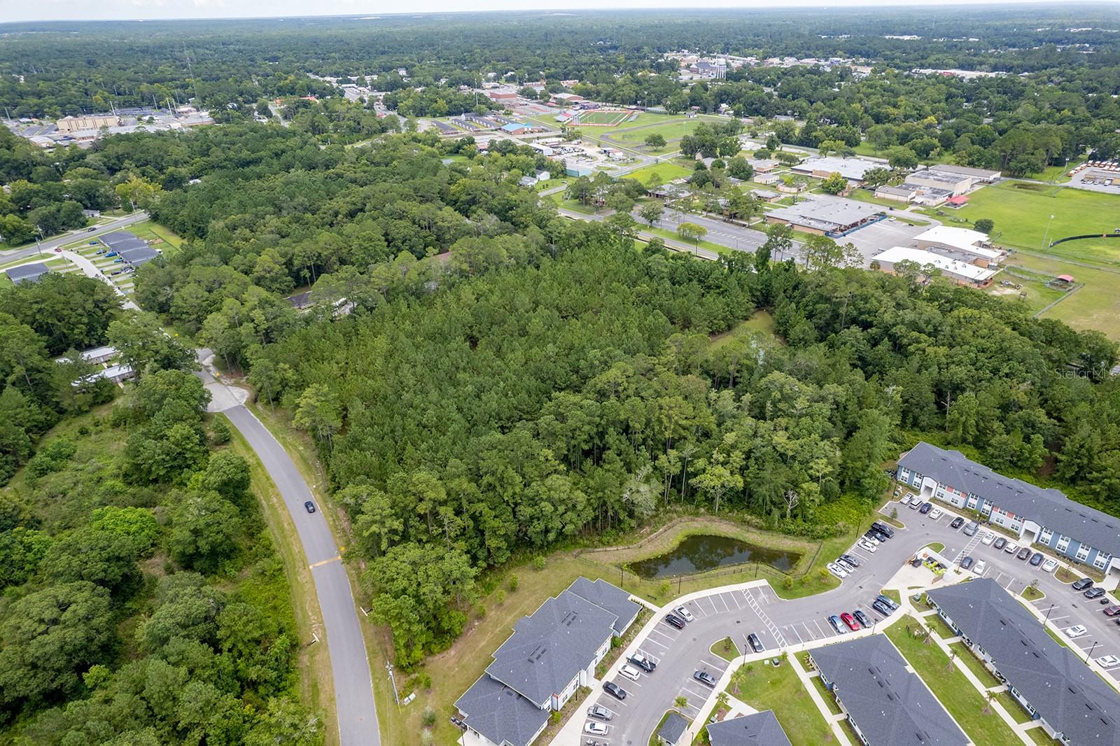
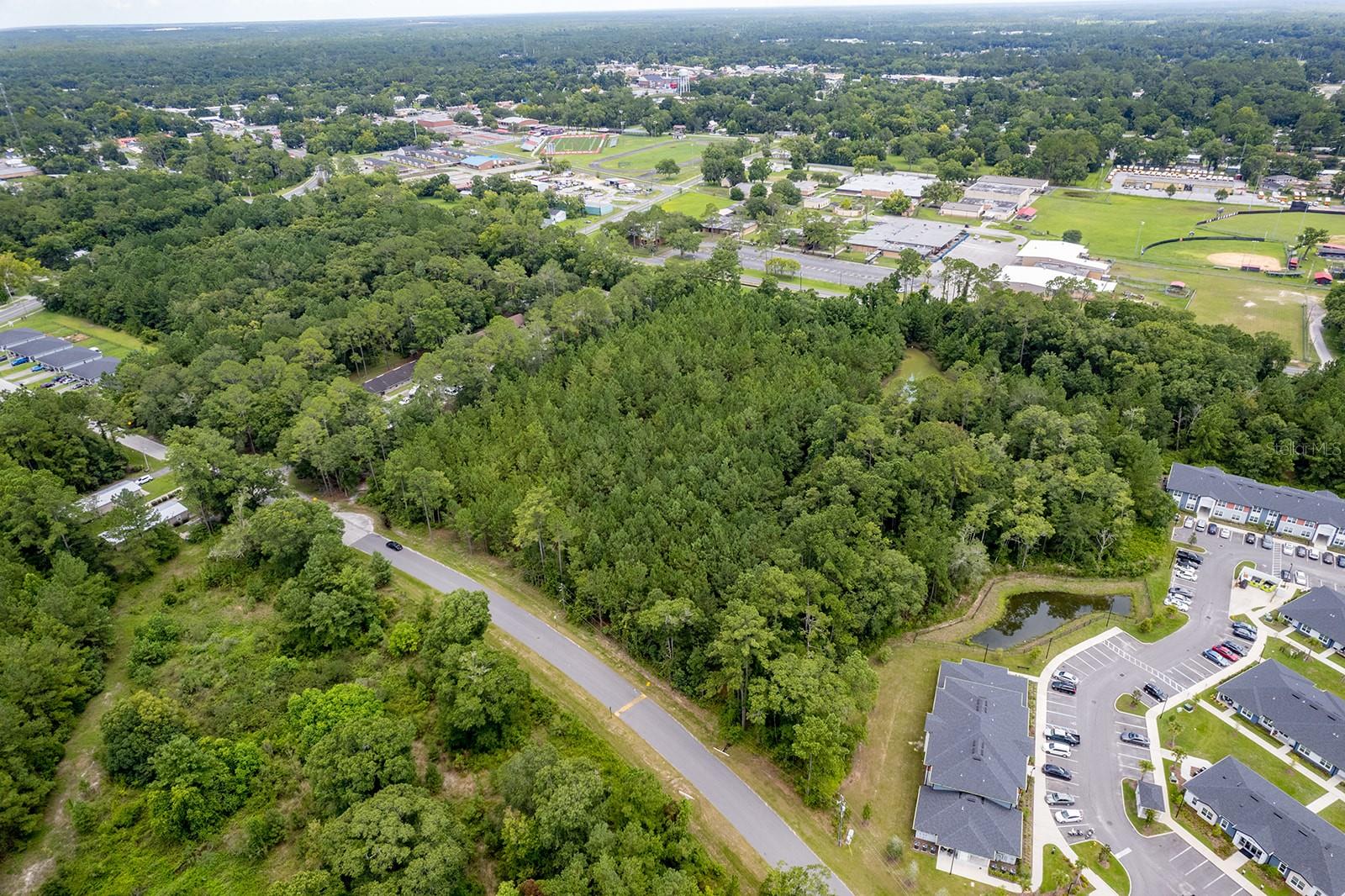
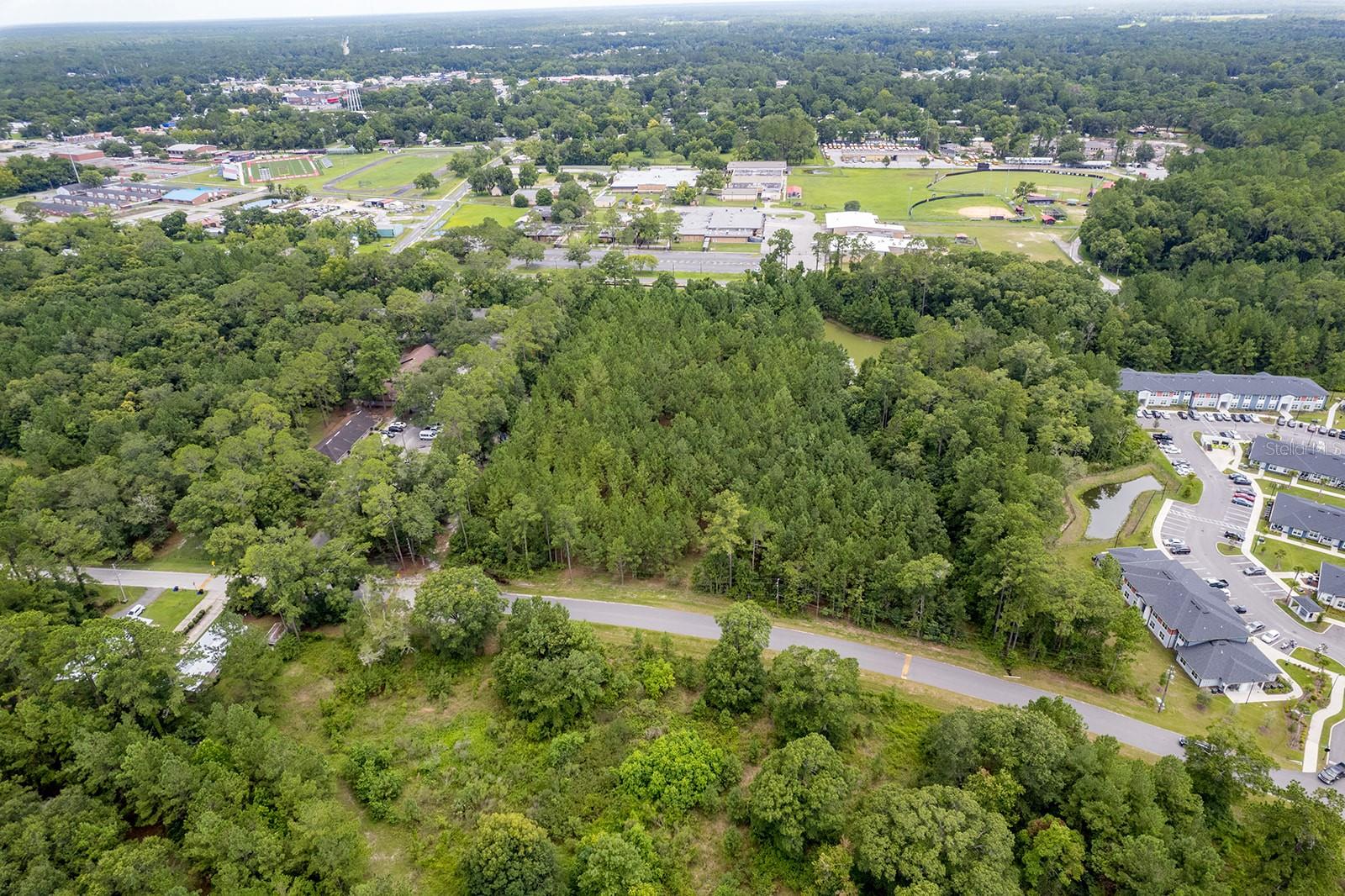
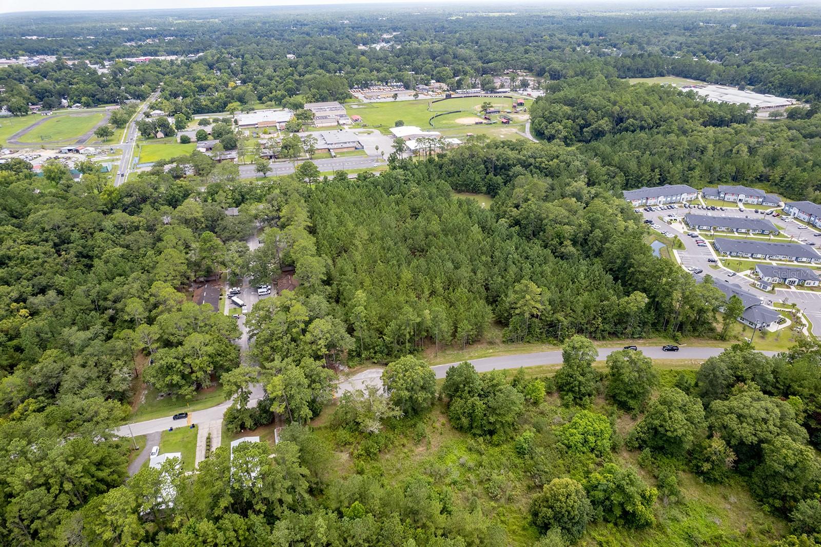
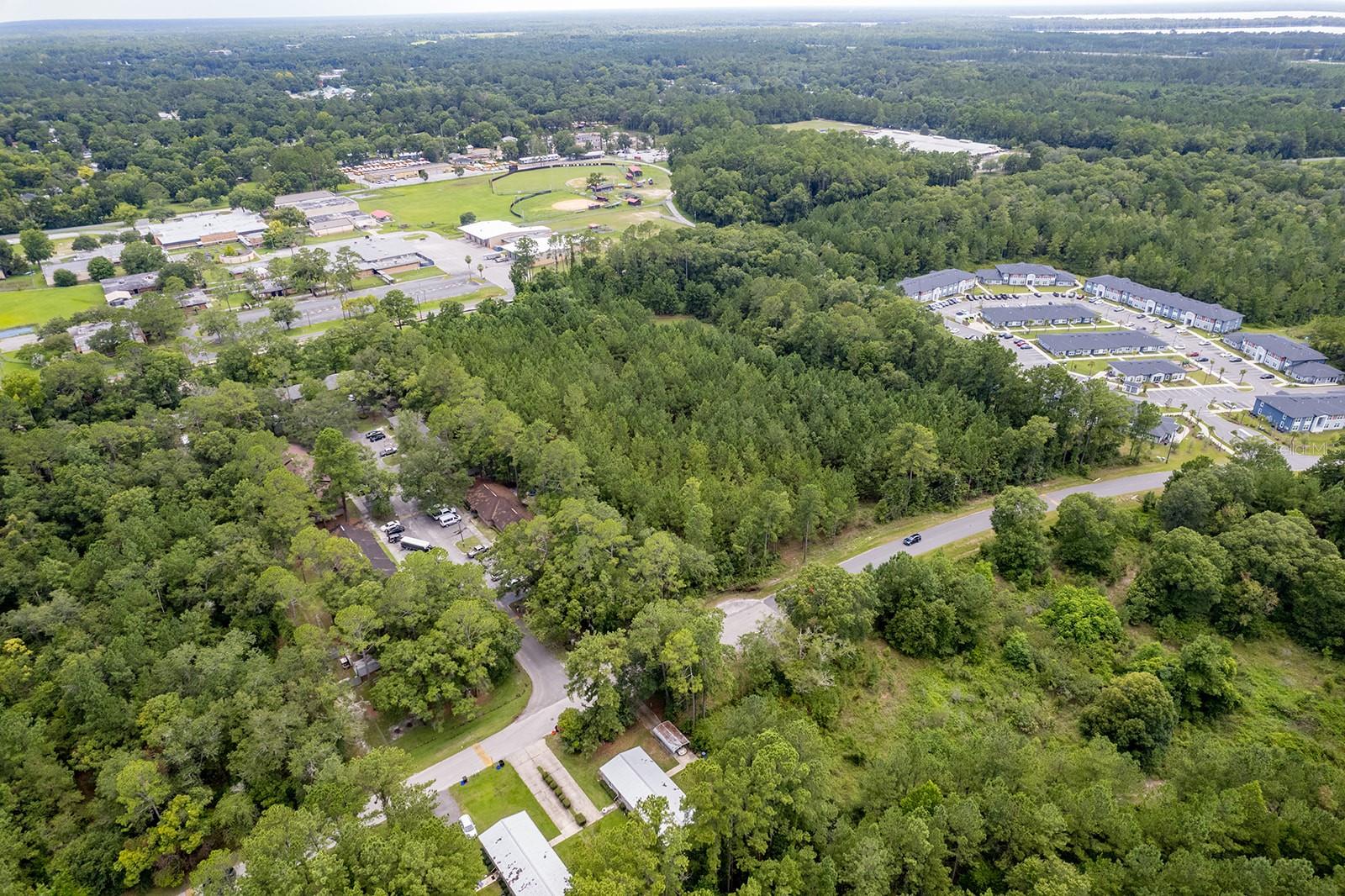
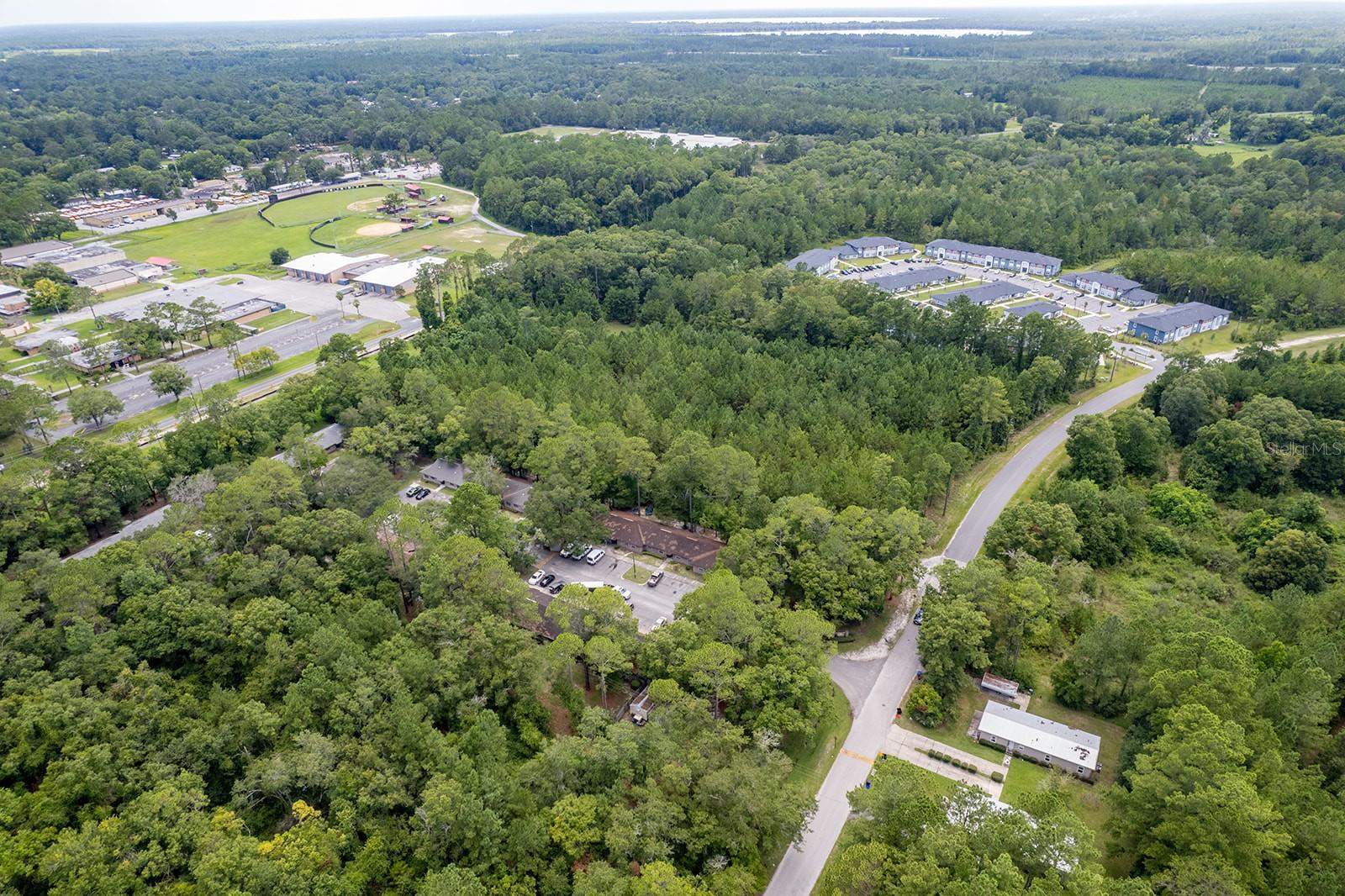
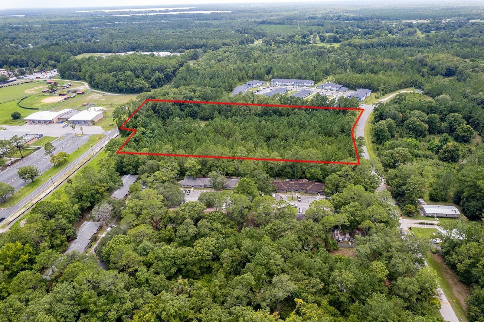
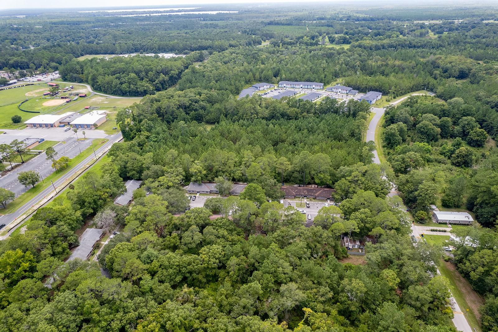
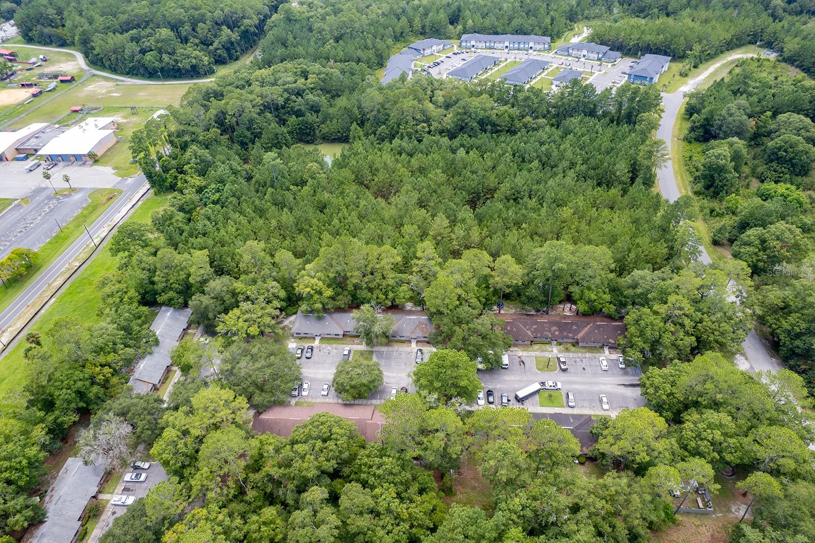
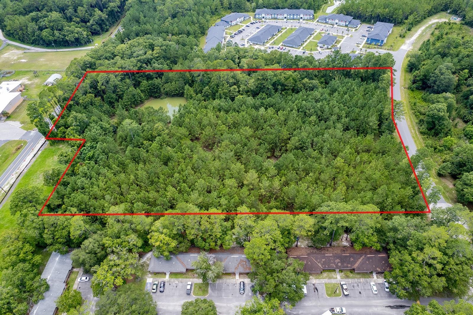
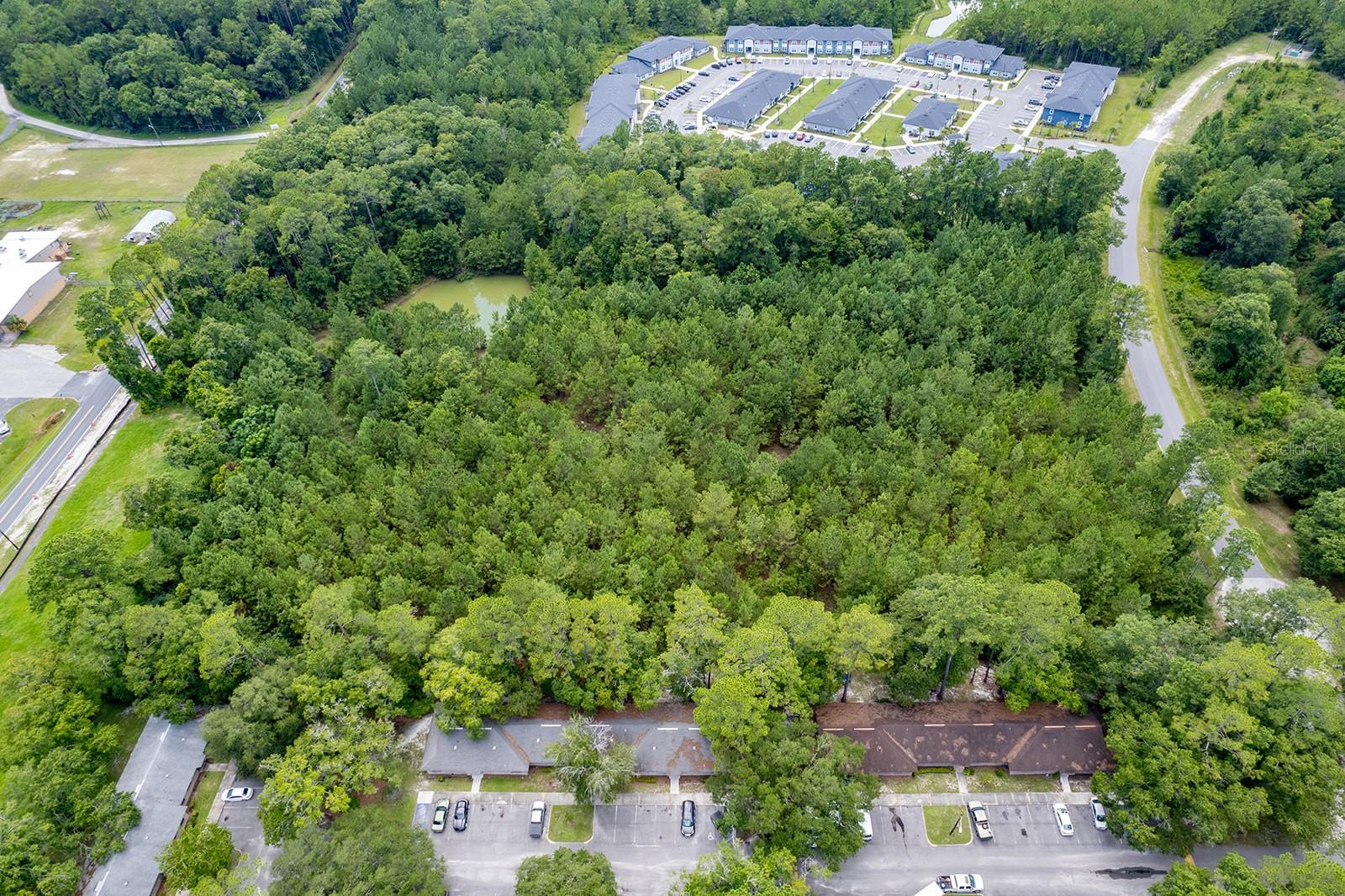
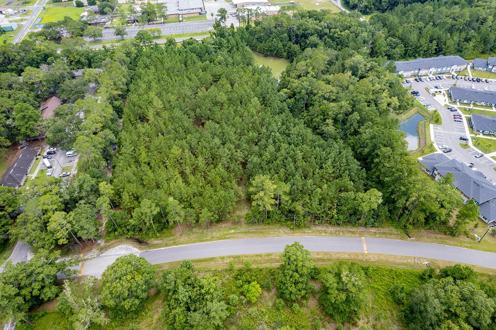
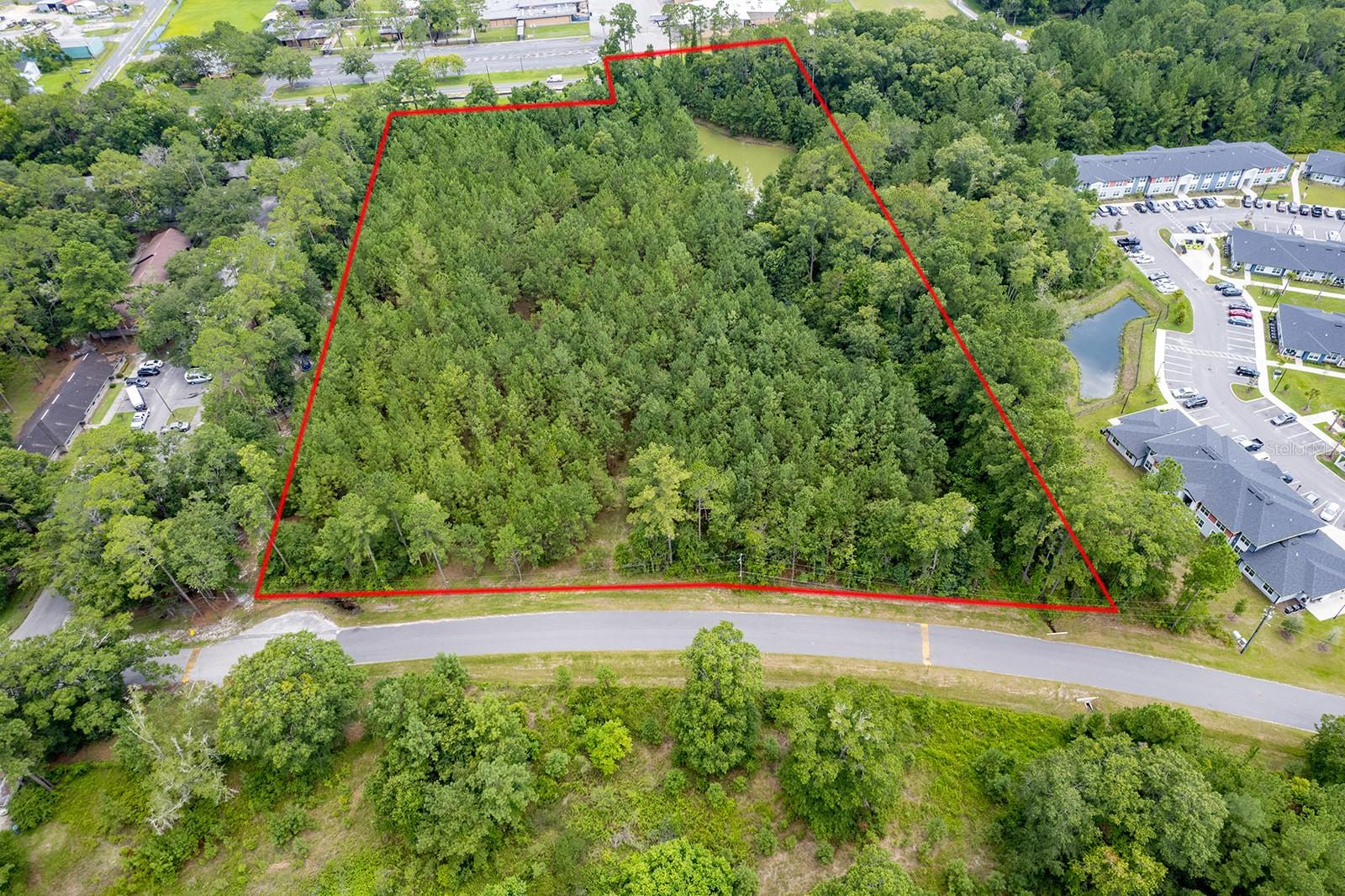
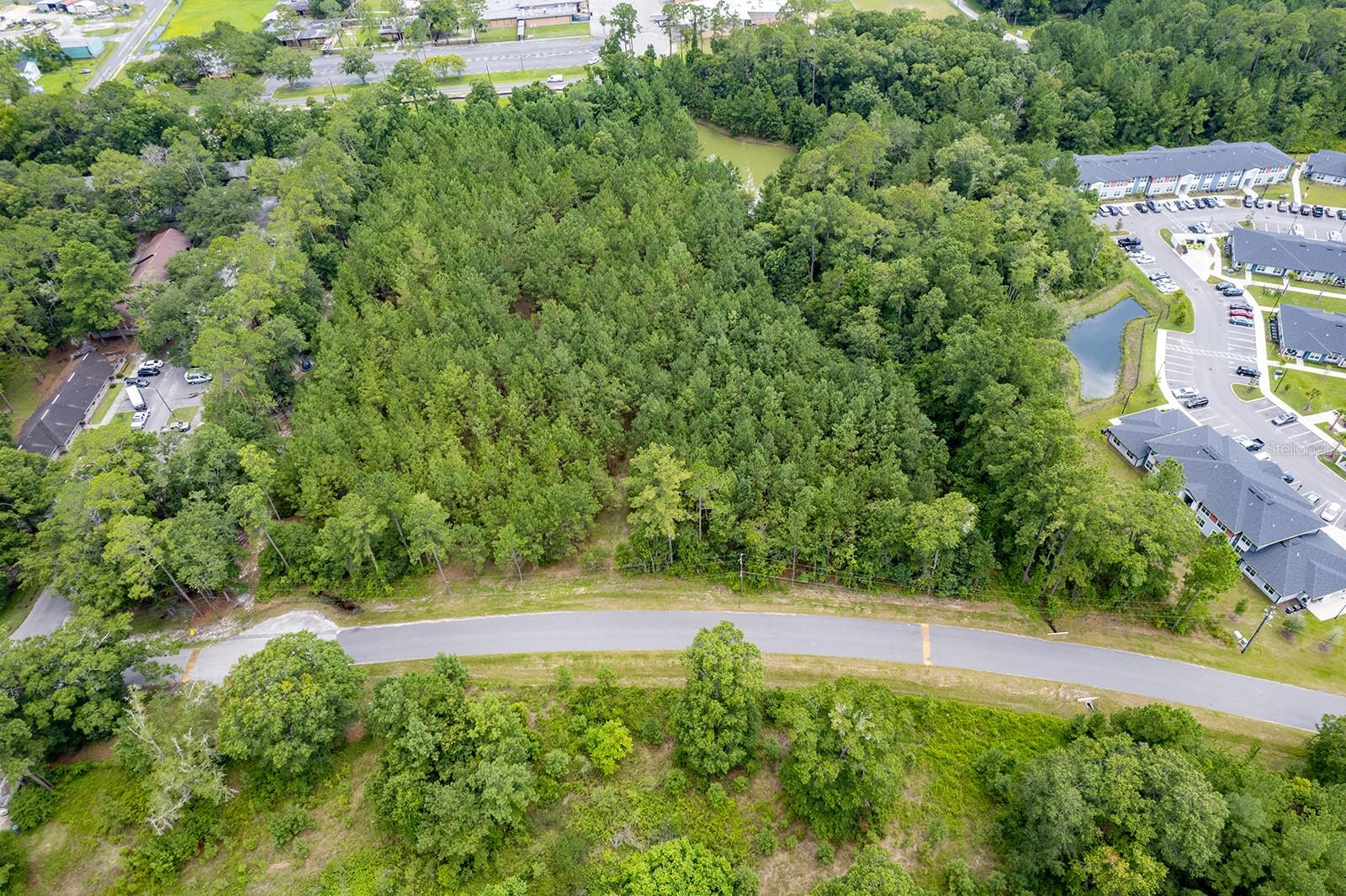
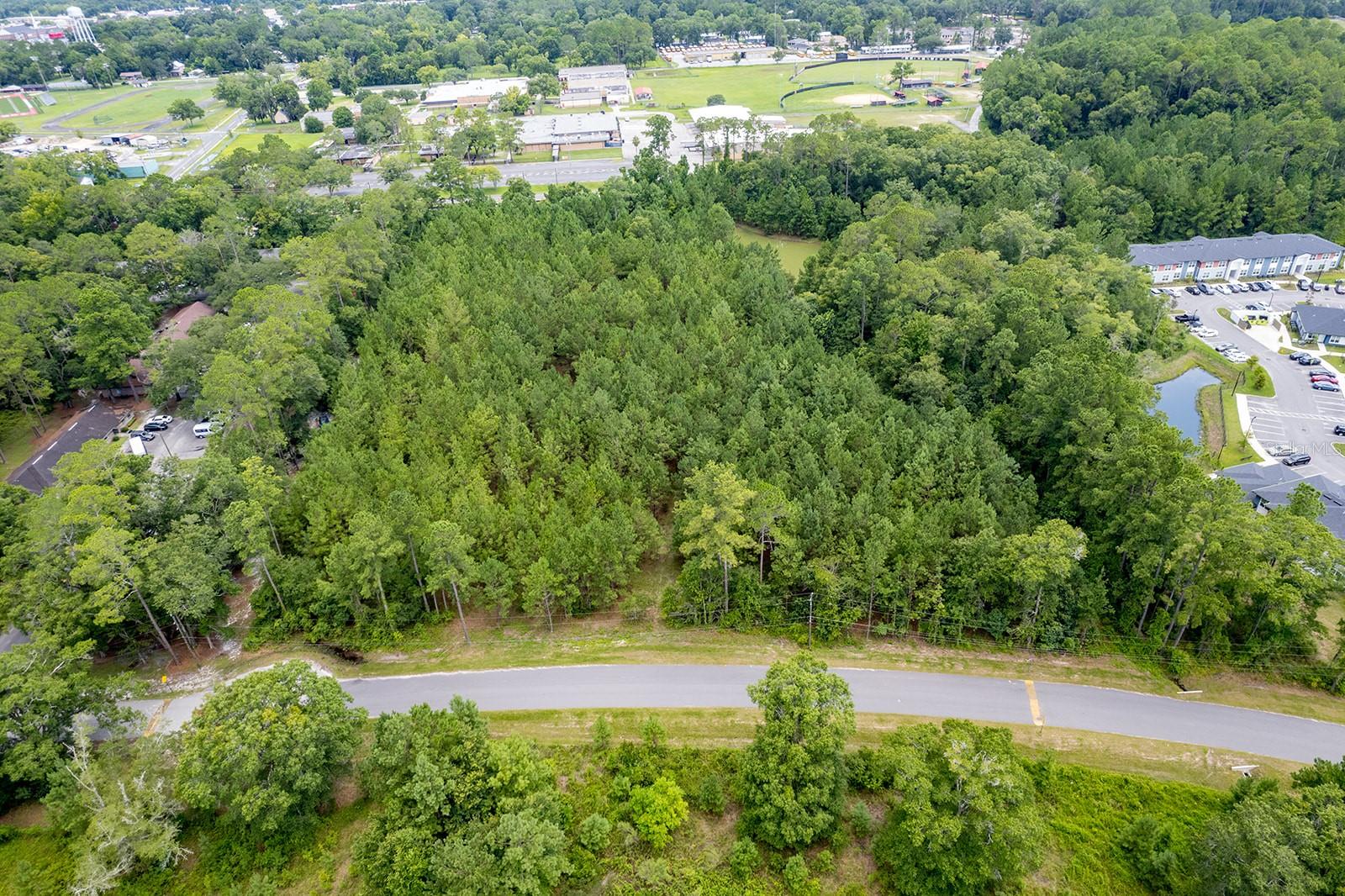
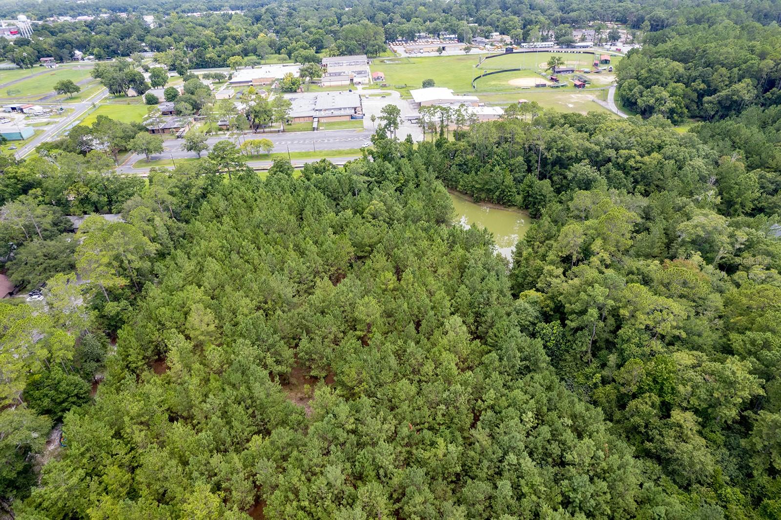
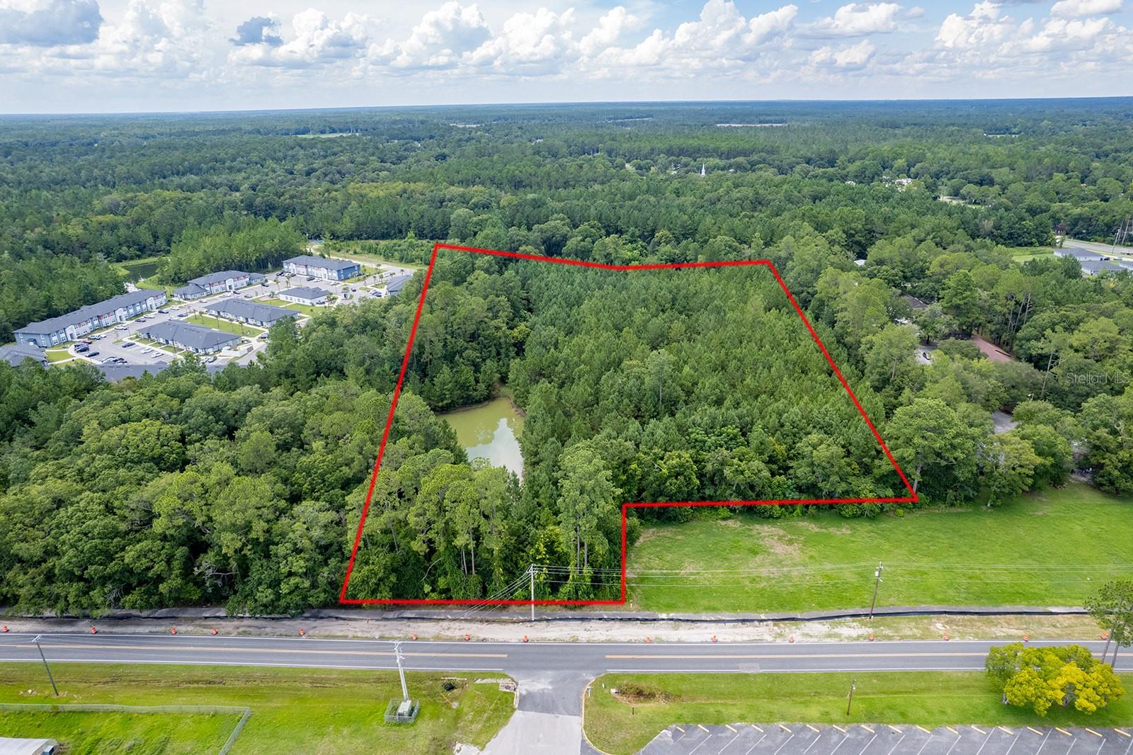
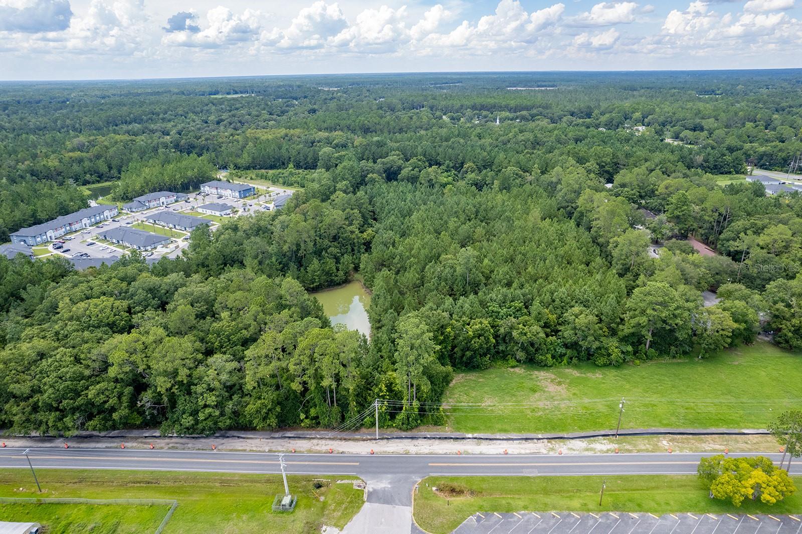
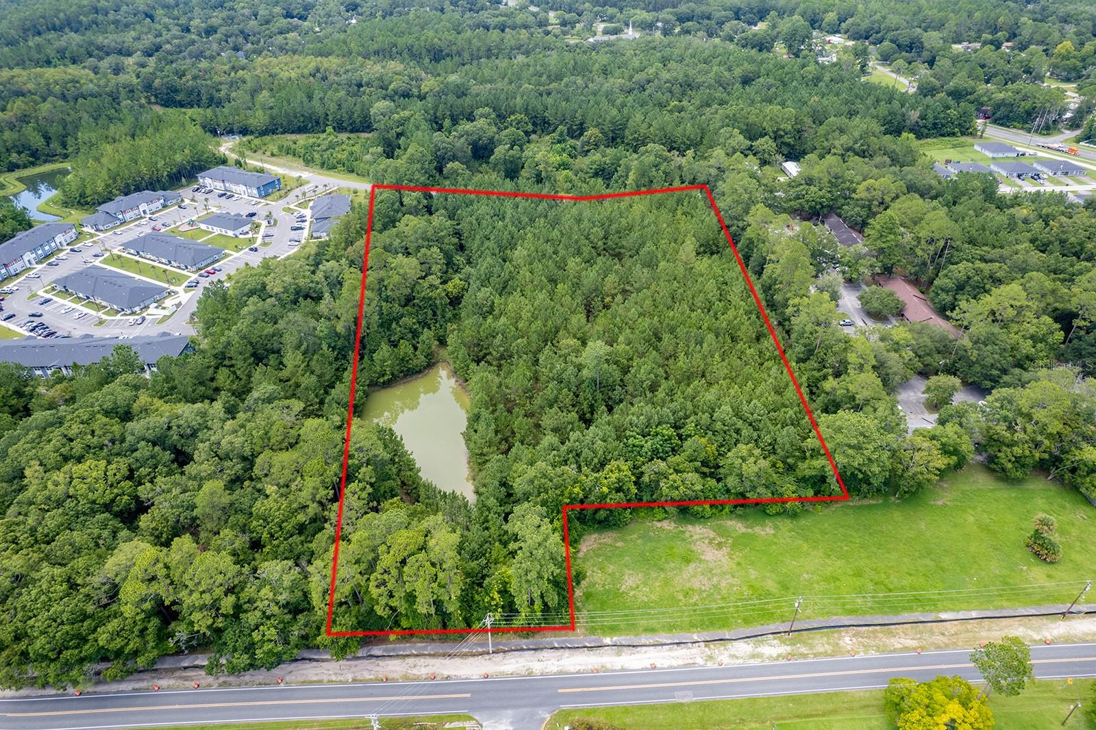
DescriptionGreat opportunity in the city limits of Starke. Property is over 7 acres with a .75 acre pond. Approximately 5 1/2 acres of are dry. This property has access to public utilities. There are many uses for this 7 acres due to zoning. Lot is zoned R 1C Single Family, Medium Density and R 2B Multi Family Residential District. There are 2 access points to property, one is on Weldon Street and the back of property fronts on Southern Villas Drive.
Payment Calculator
- Principal & Interest -
- Property Tax $
- Home Insurance $
- HOA Fees $
- Monthly -
Features
Building and Construction
- Covered Spaces: 0.00
- Living Area: 0.00
Land Information
- Lot Features: Wooded
School Information
- High School: Bradford High School-BF
- Middle School: Bradford Middle School-BF
- School Elementary: Starke Elementary School-BF
Garage and Parking
- Garage Spaces: 0.00
Eco-Communities
- Water Source: Public
Utilities
- Carport Spaces: 0.00
- Road Frontage Type: City Street
- Sewer: Public Sewer
- Utilities: Cable Available, Electrical Nearby, Sewer Available, Water Available
Finance and Tax Information
- Home Owners Association Fee: 0.00
- Net Operating Income: 0.00
- Tax Year: 2023
Other Features
- Country: US
- Current Use: Residential
- Legal Description: 20 6S 22 COM SE COR OF SE1/4. N00*06'E 37.03' TO N R/W CR-229, THENCE S89*19'14"W 670.22' TO POB. S89*19'14"W 205.59', N00*06'E 809.29', S80*45'33"E 391.05', N89*14'32"E 79.55', S00*06'W 637.02', S89*19'14"W 260.08', S00*06'W 105' TO POB. BEING 7.60 ACRE
- Area Major: 32091 - Starke
- Parcel Number: 02345-0-00900
- Zoning Code: R-1C, R-2B
Similar Properties
Nearby Subdivisions


